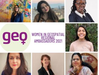
||
Technology

International Geospatial Briefing July 12th, 2021: Mapping the hot hotspots in the world; Esri’s book calling for action for conservation; June ArcGIS Living Atlas Updates; Telecomm giant maps climate resilience; Map the graveyards and trace you family tree; LiDAR to stop texting and driving; Digital Twin of the News

Mapping the hottest temperatures around the world June was an exceptionally hot month for several countries in the northern hemisphere. A “heat dome”, where high pressure traps the heat, is being blamed for the excessively high […]

|||||
Technology

Canadian Geospatial Briefing July 5, 2021: Geospatial Applications for Indigenous Issues; Canadian Company Teledyne CARIS is Mapping the Seafloor; How SBEO is Helping Track Extreme Weather Events from Space; and Agriculture and Agri-Food Canada’s New Drought Forecast Tool

New Applications are Bringing Attention to Important Indigenous Issues June 2021 was a National Indigenous History Month like no other. With the heartbreaking discoveries made at former residential schools across the country, it is crucial […]