Community
A Starry-Eyed Weekend
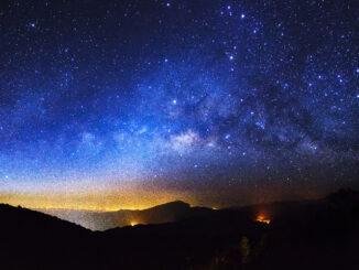
It was another long weekend (Victoria Day) and as usual I was searching for accommodations in and around BC at the very last minute. I was almost about to give up on my search when […]

It was another long weekend (Victoria Day) and as usual I was searching for accommodations in and around BC at the very last minute. I was almost about to give up on my search when […]
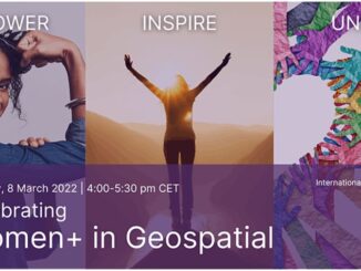
Inviting you to join us for a celebration of International Women’s Day and the 3rd Anniversary of Women+ in Geospatial! What started as a tweet in 2019, has grown into a global professional network of […]
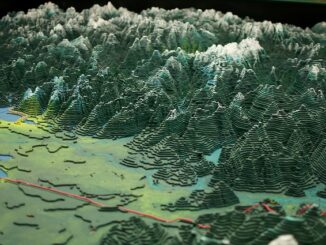
See B.C. in all its 3D glory as giant Challenger Relief Map returns to PNE after 23 years The Challenger Relief Map of British Columbia is a monumental, hand built 80-by-76 foot topographic map of […]

Renowned educator and innovator established a world-class GIS program that has trained hundreds of geospatial leaders On GIS Day 2021, Esri Canada President Alex Miller presented Dr. Bob Maher with the Roger F. Tomlinson Lifetime […]
Women+ have always been a part of the mapping world and gradually have become a more integral part of conversations, particularly within the larger discussion about equity. Women in Geospatial+ is a vibrant, growing community […]
On June 21, 2019, the Accessible Canada Act (ACA) received Royal Assent, making it law in Canada. The Accessible Canada Act is federal accessibility legislation. Its stated purpose is to achieve a barrier free Canada by 2040. The Act […]
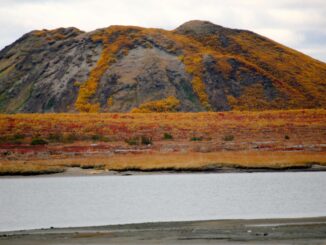
Pingo, the name itself got me curious to find out more about it. Not to be confused with Pingu (The Antarctic penguin cartoon character that we could watch for hours without any dialogues 😛 ) […]

Cesium started off in 2011, with a team of developers at an aerospace software company to create an application to visualize objects tracked in space. Fast forward to 2020, and Cesium has been named Geospatial […]