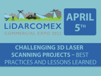
||
Technology

International Geospatial Briefing Jan 31st: 1. Exploring the World’s Food Sources; 2. Tracking Sinkholes with Satellites; 3. New Map Shows 2016 Methane Emissions Worldwide; 4. AI and McDonald’s Locations; 5. Satellites Proving Useful in Aftermath of Tonga Eruption

New Interactive Map Explores World’s Food Sources A new application recently published by Visual Capitalist allows users to explore food production around the world like never before. The interactive map allows you to sort and […]

|
Technology

Canadian Geospatial Briefing Jan 24th: 1. Mapping Canada’s World Juniors teams; 2. Ecopia AI awarded contract to support rural broadband mapping; 3. Map project will publish energy efficiency ratings; 4. Study on cross-border drones for trade; 5. Prashant Shukle elected Vice Chair of OGC Board

Mapping Canada’s World Juniors teams A new interactive map tracks the hometowns of Team Canada players since the World Juniors was first held in 1974. Players have come from 372 cities and communities in all […]