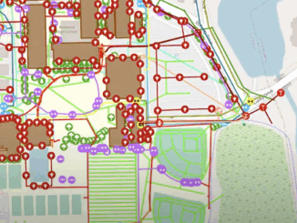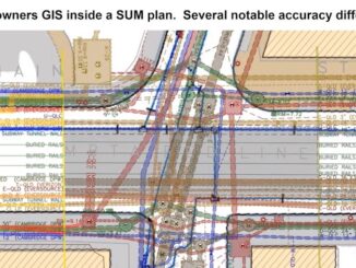
3D data
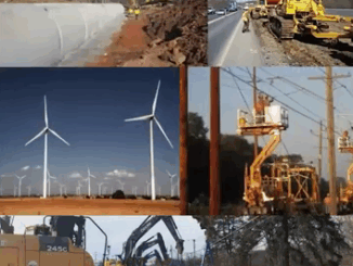
ASCE standards reduce risk and expedite public highway construction projects
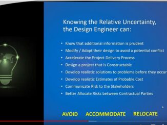
What the engineer does during planning and design has a multitude of impacts: traffic disruptions to the public, safety for workers on construction sites, avoiding delays and budget overruns on projects, decreasing risk to contractors, […]