Community
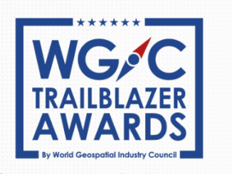
Award Nominations Now Open for WGIC Trailblazer Awards to Recognize DEI Leadership
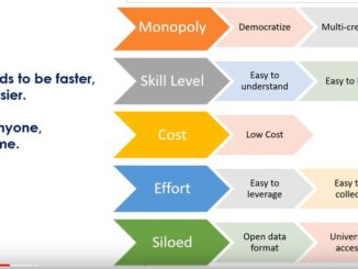
Nominations for the World Geospatial Industry Council (WGIC) Trailblazer Awards are now open. The WGIC has two awards to recognize and celebrate those individuals and companies working for the geospatial ecosystem. The awards are focused […]