Alexander Coster

My name is Alexander Coster. I studied at University of British Columbia in the Environment and Sustainability Degree program before obtaining an Advanced Diploma in GIS from BCIT. I focused my research on applying GIS to the development of sustainable energy sources and the effects of climate change on disease vectors in North America. Throughout my studies I worked for the Stanley Park Ecology Society(SPES) and the District of North Vancouver (DNV) in the Environment Department. I finished my practicum in the DNV GIS Department, and from there I started working for the Land Title and Survey Authority (LTSA). I maintain and develop the ParcelMap British Columbia (PMBC), an extensive cadaster database product used by a variety of private, municipal and provincial clients.

Articles by Alexander Coster

Detecting Land Deformation Related to Hydraulic Fracturing

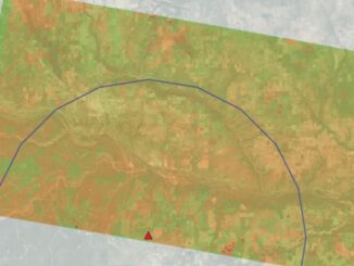
Fracking in North America The link between hydraulic fracturing, or fracking, and earthquakes has been well-established in studies throughout North…

A Review on the Use of Deep Convolutional Neural Network in Evaluating Oceanic Oil Spills

Oil spills remain a difficult calamity to rehabilitate due in part to the imperfect nature of the responses available. Even…

Searching for BCIT GIS Practicum & Project Sponsors 2021/2022

What is the sponsorship program about? Mike Hill, the GIS Program Head of BCIT, is searching for potential partners to…

Post-Wildfire Landscape Metrics & Transition Characteristics in Cariboo Regional District, 2017

The summer of 2017 marked one of the worst fire seasons in British Columbia’s history. By October, wildfires had covered…