Other
International Geospatial Briefing May 23rd: 1. Dam Surveys, 2. Greenland Is Cold, 3. GOES-18 Image, 4. Satellite Lasers, 5. Open Maps For Europe, 6. Google Maps Immersive View
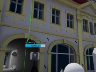
Dam Fine Data: Sub-millimetre-resolution UAS Dam Surveys Mapping heat flow beneath Greenland highlights geothermal ‘freak zone’ Stunning First Imagery of Earth From Advanced GOES-18 Satellite Military experiment demonstrates intersatellite laser communications in low Earth orbit […]