See B.C. in all its 3D glory as giant Challenger Relief Map returns to PNE after 23 years
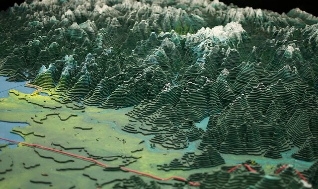
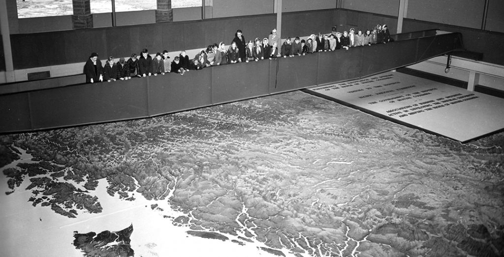
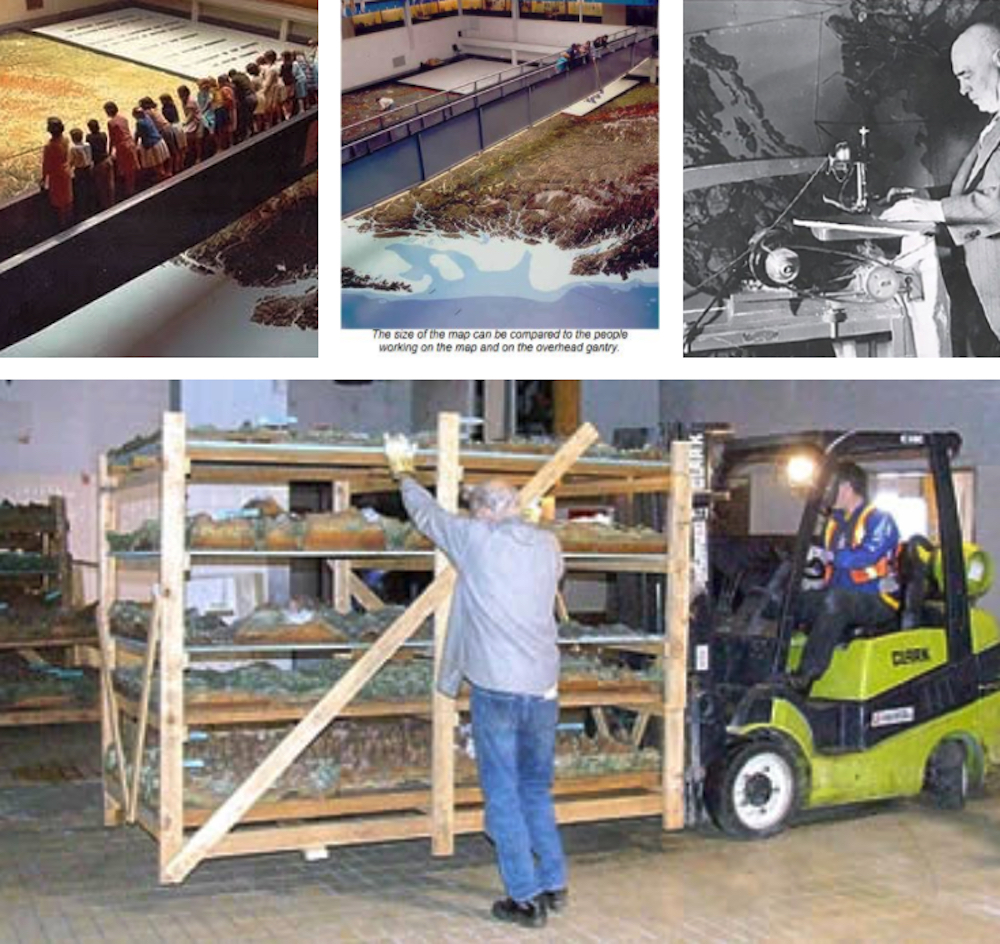
The Challenger Relief Map of British Columbia is a monumental, hand built 80-by-76 foot topographic map of the province. Built by George Challenger and his family from 1947 to 1954, it features all of B.C.’s mountains, lakes, rivers and valleys in exact-scaled topographical detail. Residing in the British Columbia Pavilion at the PNE in Vancouver from 1954 to 1997 it was viewed by millions of visitors. Given its teaching power and popularity, it is critical that the map be relocated to a place where it can be seen and enjoyed by future generations.
The map is over 6,000 square feet and is the size of two tennis courts. It was constructed out of almost one million pieces of jig-sawed, layered, and hand painted 1/4″ Douglas Fir plywood. It’s one of the most iconic pieces of heritage in the province and has the potential to become a tool which will educate a new generation of British Columbians about this wonderful place in which we live.
The Guinness Book of Records cites the Challenger Map as the largest of its kind in the world. The map in its entirety occupies 6,080 square feet (1,850 square metres) of space.
https://challengermap.ca/
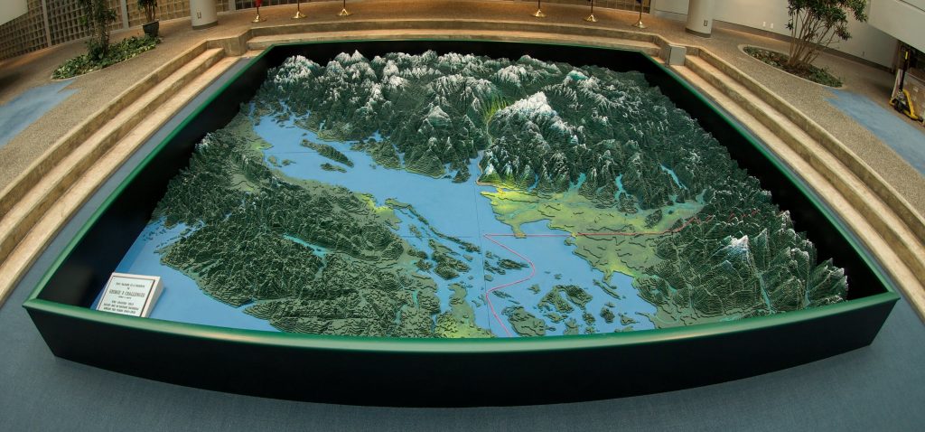
On August 19th, 2021, members of the Challenger family and a team of supporters launched a campaign to restore and bring the Challenger Map back to its original home at the PNE. This piece of the map was moved to the publicly accessible East Building lobby of the convention centre — within Canada Place, beyond the Pan Pacific Hotel lobby, and it will remain at this location for free public viewing throughout the holiday season, until December 26, 2021.
While this section of map is impressive on its own, it is only a tiny part (4%) of the complete size of the Challenger Map. This is a piece of a part of the bottom section of the map, showcasing the topographic scale of the Lower Mainland and the southernmost tip of Vancouver Island. It accounts for eight sections of the map’s entirety of 196 sections.
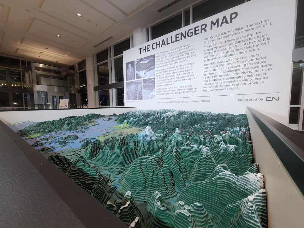
Fundraising is well underway on the restoration of the entire map, and the costs of its permanent installation, likely in the historic Livestock Barns of Hastings Park. The complete costs may reach about $1 million. The goal is to have the full map on display in time for the 2022 PNE Fair.
Support and Donation
The restoration and re-homing of the Challenger Map has united community partners and generations of fans to bring the map home to the PNE as a proud centrepiece of BC’s fair for the education and enjoyment of British Columbians today and tomorrow. There is some repair and repainting to get the map looking fantastic, as well as site and exhibition preparation. At over 6,000 square feet and almost seventy years old, it will be a big job! The restoration and installation will also provide opportunities to update the map with projections, lighting, and interactive displays to showcase more in-depth and contemporary views of our province: everything from traditional territories, to population growth, to climate change.



Be the first to comment