
Earlier this month, I attended the second edition of the Forum Geospatial Quebec in Saint Hyacinthe, followed by GeoMTL 2025. It had been more than five years since I’d last been to a geomatics conference in Quebec, so it was great to be back and see how strong and active the community is.
The Forum was organized by Dominic Tremblay, Director General of the Centre de géomatique du Québec (CGQ). The Forum took place at the Centre de congrès de Saint Hyacinthe on October 7 and brought together public sector leaders, private companies, and academics. It was well attended, with strong participation from both industry and government. The Quebec provincial government had a visible presence, and it was good to see Eric Loubier, Director General of the Canada Centre for Mapping and Earth Observation and Chair of the Canadian Council on Geomatics, taking part in the discussions. CCOG came up more than once in conversations about national coordination and the future of the sector.
The Forum’s program was well balanced, covering governance of geospatial information, the Canadian market, education and recruiting, artificial intelligence and automation, and the future needs of the industry. Eric Thalgott from Afigeo in France opened the day with a presentation on global technology trends and the results of France’s first national study of the geospatial ecosystem. The closing talk by Martin Lafleur from Groupe BIM du Québec explored the organization’s mission and the importance of collaboration across disciplines.
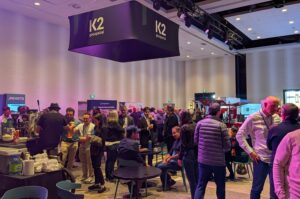
A highlight for me was the Cocktail Québec France presented by K2 Geospatial, where people from both sides of the Atlantic, including representatives from Afigéo, connected and shared ideas.
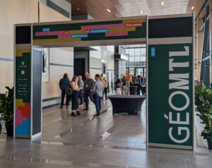
Right after the Forum came GeoMTL, and I saw that as a great opportunity to continue the conversation. I think of myself as an ambassador between the Quebec geomatics community and the rest of Canada. We have every reason to work together more closely, to attend each other’s events, and to share ideas and technology.

Language should not be a barrier anymore. Today, you can translate presentations or conversations instantly using your phone or tablet. I’ve seen this work well at international conferences, and there’s no reason we can’t do the same here in Canada.
The Quebec geospatial community already works closely with Europe, especially with France, and there’s a lot Canada can learn from those relationships. Europe has led the way on digital and data sovereignty. As Canada begins to build its own sovereign solutions, Quebec is well positioned to be a bridge between Canada and Europe.
I want to encourage the geomatics community across Canada to engage more with our friends and colleagues in Quebec. Likewise, I’d like to see more of Quebec represented at national events. You can do that at the GoGeomatics Expo, where many Quebec companies will be showcasing their technology, and at GeoIgnite next spring.
We are one geomatics community in Canada. Working together, we are stronger.


Be the first to comment