Conference news
Canada’s New Geospatial Strategy: Mapping the Gap Between Vision and Ground Truth
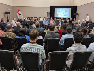
Canada’s Geospatial Strategy and the Challenge of Coordination We unpacked Canada’s new national geospatial strategy and spoke with Sumit Gera about what it will take to make it real. In 1972, Canada’s federal, provincial, and […]