
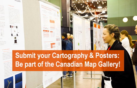
Canada Maps and Poster Gallery Returns to GeoIgnite 2026
The Canada Maps and Poster Gallery returns to GeoIgnite 2026, taking place May 11 to 13 at the Ottawa Conference and Event Centre, showcasing the breadth and impact of geospatial work from across the country.
This curated exhibition highlights the work of government organizations, academia, and industry, offering a unique opportunity to explore how geospatial data, cartography, and visualization are shaping decision making across Canada.
Featured Organizations
- Natural Resources Canada (NRCan)
- Public Services and Procurement Canada (PSPC)
- Canadian Hydrographic Service (CHS)
- City of Ottawa
- Royal Canadian Geographical Society (RCGS)
- Carleton University
- Centre of Geographic Sciences (COGS-NSCC)
- Applied Geomatics Research Group (AGRG)
- Toronto Metropolitan University
- Acadia University / NSCC
- Arctic Eider Society
- Esri Canada
- Teledyne Geospatial
- NV5 Geospatial
- CARTO
- CARIS (Teledyne)
- City of Mississauga
- Ontario Community Health Profiles Partnership (OCHPP)
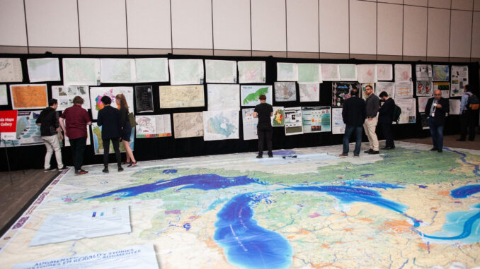
This level of engagement from federal departments, municipal governments, national organizations, alongside industry and academia, highlights the growing importance of geospatial technologies across Canada’s infrastructure, environmental, hydrospatial, and data ecosystems.
Participate in the Gallery
Participation in the Canada Maps and Poster Gallery is open to organizations across Canada and is free of charge.
Whether you are showcasing research, operational mapping, or innovative applications of geospatial data, the gallery provides a national platform to share your work with peers, decision makers, and the broader geospatial community.
GeoIgnite 2026 Sponsors
Gold Sponsor

Silver Sponsors

Bronze Sponsor
Lanyard & Lunch Sponsors

Association Sponsors


Be the first to comment