spatial data
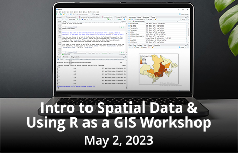
Introduction to Spatial Data & Using R as a GIS Workshop with Nick Bearman, May 2, 2023
Join Geospatial Training Solutions, GIS Trainer and Consultant, Nick Bearman during this practical, one-day, online workshop, and explore the use…
International Geospatial Briefing Oct 12: 1. Mapping endangered species; 2. Mixed reality visualization by extended reality; 3. Mapping reef in Australian coast; 4. UN releases flood map after 1985 worldwide; 5. Apple introduces no-code AI for geospatial application
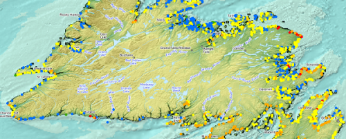
Mapping threats to land mammals, amphibians and birds Climate change and human activities are both causing challenges for different animals…
International Geospatial Briefing February 9th – What are we doing about space traffic management?; new urban planning GIS tool to improve urban climate resilience; Drone Privacy Laws; World’s Longest and Deepest Alternating Current Cable Route; Ex-Uber team – Unfolded.ai
What are we doing about space traffic management? As spaceX continues to launch more and more satellites through their ridesharing…
International Geospatial Briefing for November 16th: Yana Gevorgyan as the next GEO Secretariat Director; Mapping Britain’s footpaths; GIS, fortified Kenya’s response to COVID-19; Time travel to US cities 200 years ago by Google experiment
Appointment of Yana Gevorgyan as the next GEO Secretariat Director Yana Gevorgyan will be the next GEO Secretariat Director, effective…
Five Free and Cheap Ways to Improve Your Geospatial Technology Skills and Learn GIS to Advance Your Career
You don’t have to spend a lot of money or go back to university or college to learn or improve…
Your International Geospatial Briefing for July 20th: Penn State with new online master’s degree; Virtual wall for concrete wall; New book in archaeology and GIS; Mapping tar when recycling asphalt
New online master’s degree in spatial data science Pennsylvania State University has launched a new online master’s degree in spatial…
Your Canadian Geospatial Briefing for November 26th: Canadian spatial data infrastructure; Carleton Polar award-winner; Landsat-7; GHGSAT-C1
Canadian spatial data infrastructure As governments move towards the provision of digital information and services, national spatial data infrastructure (SDI)…
Google Earth Engine – What is a Data Cube and Why Canadians Should Care
What is a data cube and how is it used for big data analytics? How does a data cube work…
GIS Open Source versioning tool for a multi-user Distributed Environment (part 2)
Cet article est aussi disponible en français. This article is the 2nd part of GIS Open Source versioning tool for a multi-user Distributed…
WEBINAR March 29: GSDI Coastal and Marine SDI Best Practices
COINAtlantic would like to extend an invitation on behalf of the Global Spatial Data Infrastructure (ASDI) Association to participate in…
EnerGIS 2017: Call for Papers & Scholarship Opportunities
EnerGIS 2017 6/5/2017 to 6/6/2017 Suburban Pittsburgh, Pennsylvania. Join us for our 5th annual conference June 5th and 6th 2017!…
GIS Open Source versioning tool for a multi-user Distributed Environment (part 1)
Editors note: This article has been jointly written by Nicolas Gignac, Dami Sonoiki (eHealth Africa) and Samuel Aiyeoribe (eHealth Africa). These authors…


