- Bridging the Gap: GIS Solutions for Remote Communities in British Columbia
- Ottawa’s Virtual Twin: A Deep Dive into the Creation of a 3D Digital Replica
- Digital mapping uncovers Ontario’s Black history and its myths
- Good data is the foundation of creating a good city
- Eastern Canada Event Extravaganza: 12 Spring & Summer Conferences You Can’t Miss in 2024
Bridging the Gap: GIS Solutions for Remote Communities in British Columbia
Strathcona Regional District and CityWest are teaming up to use GIS technology to improve the internet in 139 rural BC communities. They’re calling the project Connected Coast, and it aims to bring better internet to areas that are far away and don’t have enough services. The project brings together government agencies and local businesses to tackle the issue of everyone having equal access to the internet. GIS maps can be used to follow the project’s progress in real-time, which helps make sure that everyone knows what’s going on and that people can participate. GIS Analyst Douglas Sauer made an Interactive Build Status Map that shows where new internet infrastructure is being built in a clear and easy-to-understand way. Read the full article here.
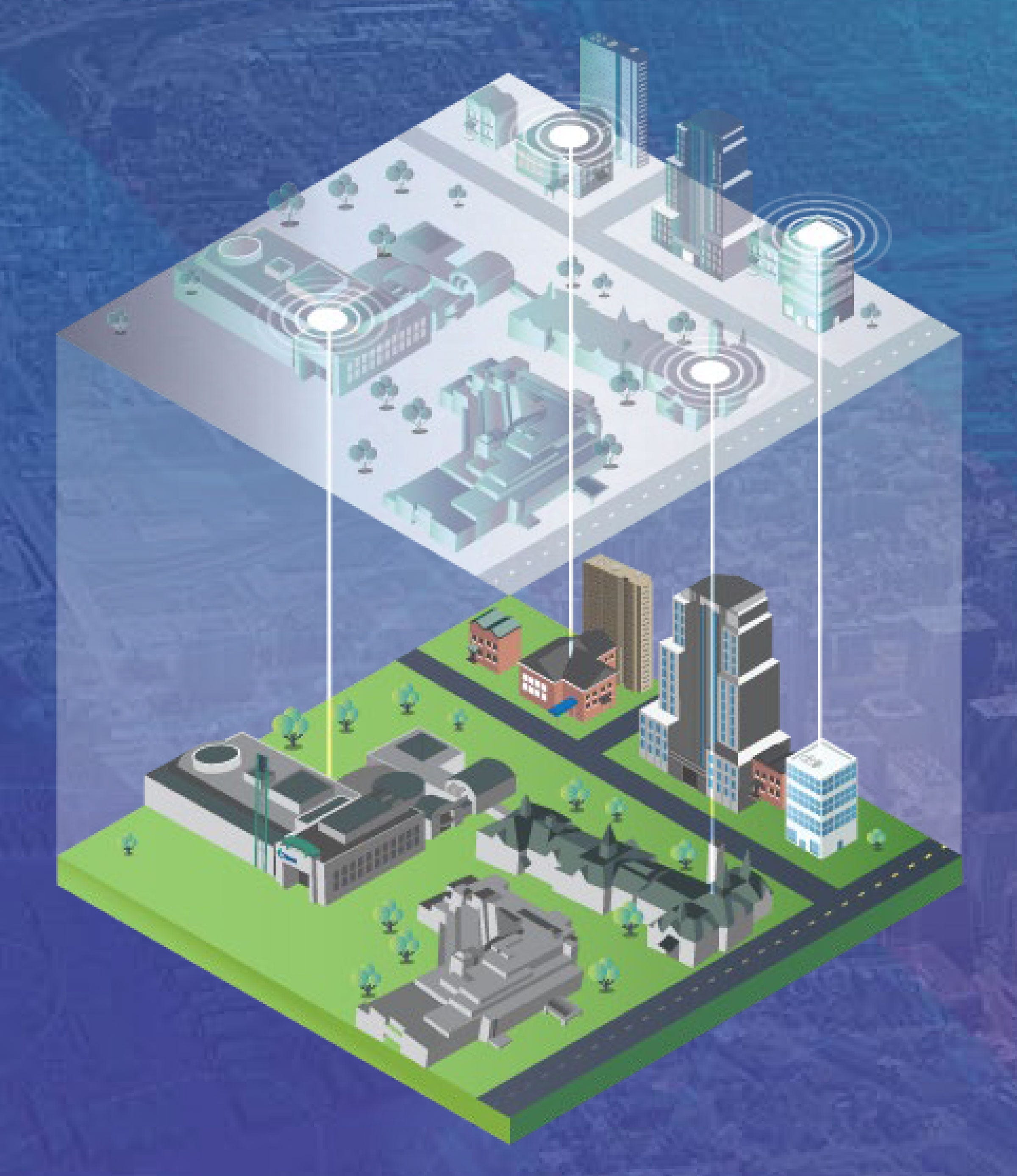
Ottawa’s Virtual Twin: A Deep Dive into the Creation of a 3D Digital Replica

Ottawa’s Planning Committee has introduced OTwin, a virtual 3D map of the city designed for planning. It simulates city changes, like buildings, roads, and transit, to help visualize how zoning rules affect neighborhoods. Initially for government use, it will eventually be open to the public. OTwin uses OC Transpo data to track buses and trains in real-time. With applications in multiple city departments, OTwin aims to transform city planning. Its versatility and potential for public access make it a key tool for shaping Ottawa’s future. Check out more information here.
Digital mapping uncovers Ontario’s Black history and its myths
The Black Londoners Project uses digital maps to showcase the rich history of Black people in Ontario. By doing this, it sheds light on important figures like Aurelia Jones. The project also challenges the idea that Canada was only a safe haven for those fleeing slavery in the United States. Instead, it shows the complex movement of Black people within Canadian communities. By combining archival documents with personal stories, the project reveals the long-standing Black presence in London, Ontario, dating back to the 1600s. These efforts are crucial for recognizing the ongoing struggle for equality and dispelling the myth that Canada was solely a refuge from slavery. Mapping Black geographies enhances our knowledge of connections within the diaspora and highlights the significance of commemorating Black history beyond specific months. Find more details here.
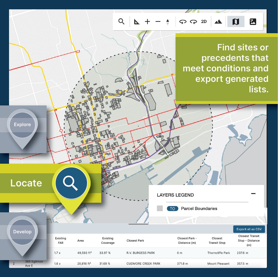
Good data is the foundation of creating a good city

This article emphasizes the crucial role of quality data in urban planning and housing development, especially in light of Canada’s growing population. Collaboration between the housing sector and municipalities is essential. Accurate, accessible data can support informed decision-making and streamline the planning process. The article introduces Ratio.City as a tool that provides valuable data for effective housing development. The author stresses the importance of data accessibility and transparency, as these elements can accelerate development and help Canada meet housing targets. To address the pressing housing crisis, stakeholders are encouraged to utilize technology and foster collaborative partnerships. By leveraging these approaches, we can work towards resolving the housing shortage in Canada. Collect details here.
Eastern Canada Event Extravaganza: 12 Spring & Summer Conferences You Can’t Miss in 2024
In 2024, Eastern Canada will host a range of notable conferences and events in the fields of land surveying, geomatics, and related disciplines. These gatherings will bring together professionals, students, and industry leaders to share knowledge, discuss emerging technologies, and tackle industry challenges. Covering topics ranging from land surveying and lidar technology to geospatial leadership and Earth-observation, these conferences aim to foster collaboration and advancement within the Eastern Canadian geo-community. They will feature educational sessions, hands-on workshops, networking opportunities, and other initiatives to support the growth and resilience of the region’s geo-professionals. Find the details of the conferences here.


Be the first to comment