- The sky’s the limit as SAIT launches Canada’s first remotely-piloted aviation training centre
- NASAMS air defence systems, now deployed in Ukraine, utilize Canadian software for battlespace visualization
- Where is Canada Hiding All Its Tornadoes?
- New maps estimate energy efficiency for thousands of homes in Edmonton and Calgary
- Canadian companies cover new ground with Earth-observation technology
- Cloud-based platform to be used for satellite imagery analysis
The sky’s the limit as SAIT launches Canada’s first remotely-piloted aviation training centre

The Southern Alberta Institute of Technology (SAIT) has launched Canada’s first remotely-piloted aviation training centre focused on heavy-lift and beyond-visual-line-of-sight Remotely-Piloted Aircraft Systems (RPAS). The project was funded by the Aerospace Regional Recovery Initiative, a Government of Canada program to support economic growth in the Prairies, which awarded ARIS with $1.48 million. SAIT worked collaboratively with remotely-piloted aircraft systems manufacturers and aviation regulatory agencies in North America and Europe to provide advanced training and certification for RPAS with a payload capacity of 25 kg or more. The establishment of this centre is expected to foster growth within the RPAS industry and position Alberta as a leader in the field. Find out more here.
NASAMS air defence systems, now deployed in Ukraine, utilize Canadian software for battlespace visualization
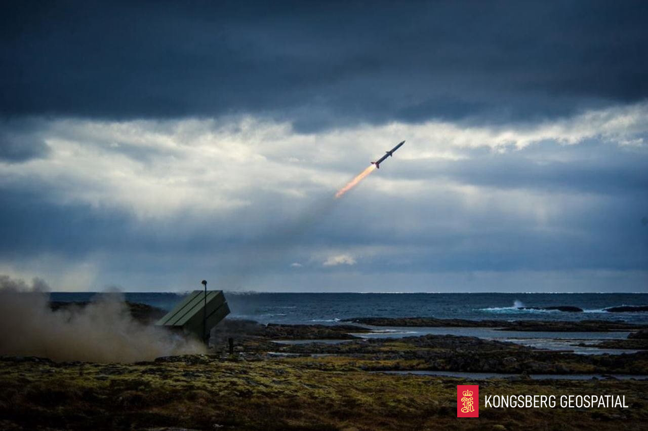
Canada will donate a National Advanced Surface-to-Air Missile System (NASAMS) to Ukraine to strengthen the country’s air defence systems against ongoing Russian attacks. Canadian software from Kongsberg Geospatial in Ottawa, TerraLens, has been deployed in the NASAMS Fire Distribution Center operator display to provide a real-time 2D and 3D display capable of displaying thousands of tracks. The TerraLens SDK is proven in defence applications worldwide, and its inclusion in the donation to support Ukraine should be a source of pride for all Canadians. The NASAMS air defence system can engage up to 72 targets simultaneously and intercept targets beyond visual range. Read more in detail here.
Where is Canada Hiding All Its Tornadoes?
Canadian tornadoes have long gone unnoticed due to the country’s low population density, resulting in an incomplete twister census. However, the Northern Tornadoes Project, a group of meteorologists and weather scientists, is addressing this issue. The group is using social media, satellite imagery, and drone footage to track Canadian tornadoes. Using this technology, the group recorded a total of 117 confirmed tornadoes in 2021, setting a new record. The group has also been able to determine the specifics of each storm using high-resolution photographs captured by drones and planes, which helps scientists understand how they formed and what kind of risk they posed to people and infrastructure. The primary goal of the project is to build the resiliency of communities and to revise building codes and warning systems to prevent tornado-related damage. Collect details here.
New maps estimate energy efficiency for thousands of homes in Edmonton and Calgary

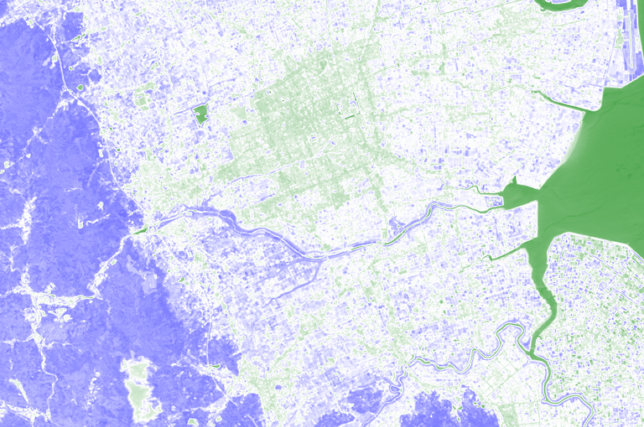
The Vancouver-based software company, Lightspark, has developed interactive maps that estimate the energy efficiency ratings of thousands of single-family homes in Edmonton and Calgary. Using artificial intelligence and machine learning, Lightspark aims to provide homeowners and prospective buyers with information about inefficient dwellings. The maps use EnerGuide labels, light detection and ranging, property tax rates, and census data to estimate energy efficiency. The ratings range from green for very efficient homes to red for inefficient ones. The Alberta Ecotrust Foundation, the Alberta Real Estate Foundation, and Scotiabank contributed funding to the project. Read more here.
Canadian companies cover new ground with Earth-observation technology
Earth-observation data is providing commercial insights for Canadian startups as machine learning software is used to precisely identify cloudless images and map them to the Earth’s surface. This speeds up the process and reduces costs. Companies, including SkyWatch Space Applications in Waterloo, Ontario, are developing proprietary algorithms, and SkyWatch offers a centralized archive of satellite images from multiple sources that can be accessed quickly. Other firms are developing software to detect minerals such as lithium on the Earth’s surface, monitor agricultural performance, measure ground-level changes and help insurers measure risk. In 2022, the Canadian government estimated that the global earth-observation market would be worth about $10bn in a decade. Read more about this here.
Cloud-based platform to be used for satellite imagery analysis
The remote sensing software company, Metaspectral, has signed a Letter of Intent with SkyFi, a provider of satellite imagery, to integrate their hyperspectral image analysis cloud-based platform, Metaspectral Fusion, with SkyFi’s satellite imagery platform. This integration will enable users of the Fusion platform to import satellite imagery directly from SkyFi and train AI models to identify objects or features in the imagery. The next phase of the collaboration could see SkyFi adding hyperspectral image data and Metaspectral Fusion’s analytics tools to its satellite imagery platform. Hyperspectral image analysis of satellite data has a wide range of potential uses, including environmental monitoring and intelligence, surveillance or reconnaissance missions. Click here for more information.



Be the first to comment