- New BC LiDAR Program Enhances Climate Resiliency and Land-Use Planning
- Satellite Photos Capture BC Wildfires
- AI in the Forestry Sector: Kelowna Startup’s Innovation
- Period Pin Maps Free Menstrual Hygiene Products in Guelph
- New Autonomous Drone Being Developed in St. John’s
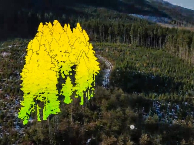
New BC LiDAR Program Enhances Climate Resiliency and Land-Use Planning
BC has announced a new program that aims to provide communities with access to high-quality Light Detection and Ranging (LiDAR) data, facilitating informed decision-making in climate resiliency and land-use planning. LiDAR technology aids in climate emergency preparedness, habitat and ecosystem protection, and sustainable forestry management. Covering nearly a million square kilometers of British Columbia, this initiative collaborates with First Nations, industry, and interest groups to map every corner of the province, ensuring freely available LiDAR data. To learn more about this incredible announcement, click here.
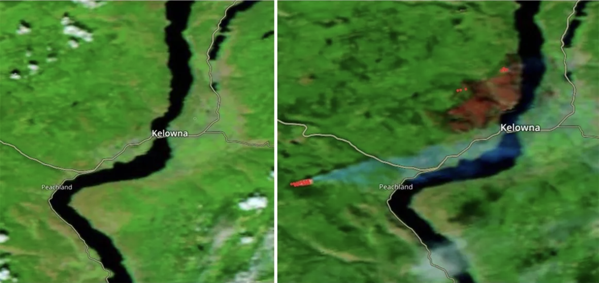
Satellite Photos Capture BC Wildfires
Satellite imagery is being used to monitor and capture the extent of the devastating wildfires in British Columbia this past summer. The photos provide a bird’s-eye view of the fires and their impact on the landscape. This technology aids in assessing the size, movement, and potential threat of wildfires, assisting authorities in responding effectively to these natural disasters. Satellite imagery is a valuable tool in managing and combating wildfires in the region. To learn more about how the imagery is being put to use, click here.

AI in the Forestry Sector: Kelowna Startup’s Innovation
A Kelowna-based startup is pioneering the use of artificial intelligence (AI) in the forestry sector. The company is leveraging AI technology to improve forest management and sustainability. By analyzing data from drones and other sources, the AI system can enhance forest health assessments and optimize harvest planning. This innovation showcases the growing role of AI in improving the efficiency and sustainability of traditional industries. To learn more, click here.

Period Pin Maps Free Menstrual Hygiene Products in Guelph
A local initiative in Guelph, Ontario, is using a mobile app called “Period Pin” to map out locations where free menstrual hygiene products are available. This community-driven effort aims to address period poverty by making these essential products easily accessible to those in need. The app not only helps individuals find nearby distribution points but also raises awareness about the importance of menstrual health and equity in access to hygiene products. To see the application and check out what other regions are covered by this important initiative, see more here.

New Autonomous Drone Being Developed in St. John’s
In St. John’s Newfoundland, Armin Strobel decided to develop and build a new kind of drone when he wasn’t satisfied with what commercial drones could do. StrobelTEK has created a drone that can launch, perform preprogrammed missions, and land safely – all autonomously. This drone is pushing the boundaries of drone hardiness, designed for the harsh weather of Newfoundland. We think this drone could be something to watch when it comes to data collection in harsh environments and automated geospatial applications – think precision farming collecting data autonomously, every hour, unmanned. Quite the development! Watch the video here to learn more.


Be the first to comment