forest management
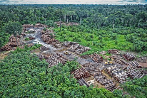
Exploring Geospatial AI: Understanding and Preventing Deforestation
Global forests are one of our most important resources, not only for the service they provide as the lungs of…
Canadian Geospatial Digest October 16, 2023
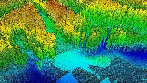
New BC LiDAR Program Enhances Climate Resiliency and Land-Use Planning Satellite Photos Capture BC Wildfires AI in the Forestry Sector:…
Geospatial Canada Briefing Oct 19: 1. Tsunami mapping; 2. Re-forestation with drones; 3. Vinland Map; 4. Holographic Sonar Displays; 5. Flood mapping; 6. drones in search & rescue
Tsunami mapping provides clearer picture of devastation for NW Vancouver Island A $1.2 million collaboration between five First Nations, four…
How Remote Sensing Applications Will Help Put a Price on Carbon
Quantifying our Resources Advances in remote sensing are pushing forward our abilities to quantify natural resources. As satellites improve, offering…
A Japanese Perspective: LiDAR forest data for resource analysis in Japan
The GIS & LiDAR Specialist I am Kei, a passionate GIS & LiDAR Specialist with over 6 years’ experience in…
SNRC: UAV Integration Highly Valued in Canadian Marketplace
Due to a foreseeable increase in the demand for UAV acquired aerial imagery in resource management, various firms are already…
UAV Technology in the Canadian Forestry Sector
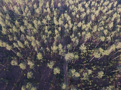
The Unmanned Aerial Vehicle (UAV) industry is soaring! Civilian drones are being applied in various global industries ranging from agriculture…
June Seo: Geomatics Engineering Student at NAIT & GoGeomatics Edmonton Group Leader
GoGeomatics Canada is pleased to introduce June Seo to the community. She is one of the great new group leaders…
Speaker Series: LiDAR & Forest Management at the Edmonton Social
*Editor’s note: Due to unforeseen circumstances, the speaker has been postponed for the April Social. The social is still taking…
2015 Canadian Geomatics Events & Conferences
This is our list Canadian geomatics conferences and events for 2015. Here you will find events pertaining to GIS, remote…
GaiaStudio Software Inc. Simulating BC Forest Growth on the Cloud
As climate change and managing our environment responsibly become larger topics in industry, the media, and to everyday people, sustainable…
Canadian Forestry: Landscape Mapping of Whole Tree Inherent Wood Properties
Introduction The forest industry is undergoing a major shift in how it conducts business due mainly from increased competition from…


