Tags:
, , , , , , , , , , , , , , , , , , , , , , , , , , , , ,

Data BC Portal: iMapBC & Geographic Services

The new Data British Columbia Portal is now open.  Here you are going to find an exciting new set of tools and data sources for the geomatics and GIS community in Canada. Within the new Data BC portal under the Geographic Services section you will find the iMapBC tool. That’s where the gold is if you want BC GIS data.  But don’t take our word for it let us hear from the horses mouth.  This is what they have to say about themselves on the website.

iMapBC

Use this tool to view thousands of map datasets hosted in the BC Geographic Warehouse. You can view the data in an interactive mapping environment: to put together map layers of interest; to upload your own map data; and to produce maps that can be printed or emailed to others.

Although iMapBC can be used as a simple map viewing tool, it can also be used for query and analysis tools (simple GIS functionality).
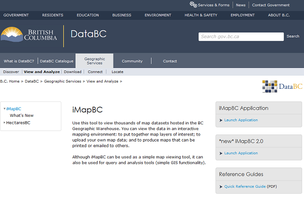
Data BC Portal


One comment on "Data BC Portal: iMapBC & Geographic Services"

  1. David Wrate says:

    Hi, thanks for the great coverage! Just wanted to let you know that DataBC came into existence in July 2011 and has increasing become the go-to place for BC GIS data.

Comments are closed.

Related Articles

Geomatics for the public good call for speakers

Call for Canadian Public Service Leadership: Geomatics for the Public Good

Are you a public servant using geomatics to drive positive change and showcase its value to citizens? Please consider submitting…

OGL Engineering exhibits at the Expo

GoGeomatics Welcomes OGL Engineering to the Calgary Expo

We are excited to announce that OGL Engineering will be participating in the upcoming GoGeomatics Expo as an exhibitor Nov…

TopoDot - How to Choose the Best Point Cloud Processing Software

TopoDOT: How to Choose the Best Point Cloud Processing Software

Originally published by Mike Cook on September 2, 2021. You got a point cloud, great! Now what? You need a…