Join a collaborative user community of forward-thinking educators and administrators sharing innovative learning and best practices about geospatial technology. With so much of education moving online, the 2020 Esri Education Summit is moving online too. [...]
42 events found.
Events
Calendar of Events
|
Sunday
|
Monday
|
Tuesday
|
Wednesday
|
Thursday
|
Friday
|
Saturday
|
|---|---|---|---|---|---|---|
|
0 events,
|
0 events,
|
0 events,
|
0 events,
|
0 events,
|
0 events,
|
0 events,
|
|
0 events,
|
0 events,
|
0 events,
|
0 events,
|
1 event, |
1 event, |
0 events,
|
|
0 events,
|
0 events,
|
0 events,
|
1 event,
-
This presentation will detail the technical specs and applications of Teledyne Optech’s new Galaxy CM2000. A new innovative sensor designed for corridor mapping, that will allow for flexible and efficient low altitude surveys. The Galaxy [...] |
0 events,
|
0 events,
|
1 event,
-
These seminars offer practical and proven advice to help you make the most of your geospatial job search. These sessions will be useful to graduating students as well as seasoned professionals. Seminar Topics will include: [...] |
|
0 events,
|
0 events,
|
0 events,
|
0 events,
|
0 events,
|
1 event,
-
On its 10 year anniversary, HOT is featuring four (4) microgrant projects in a community webinar on August 21, 2020, at 13:00 UTC. About this Event OSM Iraq: Creating maps that support humanitarian response amid [...] |
0 events,
|
|
0 events,
|
0 events,
|
2 events,The theme of the 2020 EAS is “The Geospatial Vision for the Next Decade.” Collecting, analyzing and applying geospatial data is evolving at a rapid pace. EAS provides the premiere thought leadership venue for the [...]
-
The BC Wildlife Federation's Wetlands Education Program presents Map our Marshes, a free 1-day, virtual workshop, open to the public. Wetlands can filter water, mitigate flooding, and provide critical habitat to hundreds of species. Unfortunately, wetlands are [...] |
2 events,
-
Topic: Maps for mass consumption: Doing it the right way The role of contemporary cartography in bridging the gap between information and action Be it a pirate’s treasure map in literary fiction or a thinktank’s [...] |
3 events,
-
It’s been 20 years since Hexagon released the Enhanced Compressed Wavelet (ECW) file format. In that time, a lot has changed across the geospatial industry. Many novel, and not so novel, image storage strategies have [...]
-
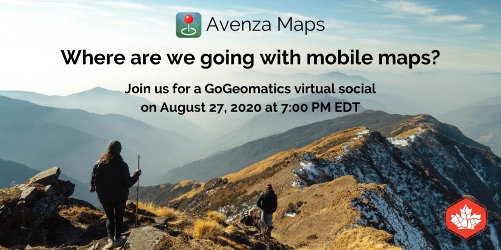
Join the Avenza Maps team for a social night of drinks, fun trivia, and roundtable discussion on our perspectives of building and working with mobile map technology for the past decade including what upcoming features [...] |
0 events,
|
0 events,
|
|
0 events,
|
1 event,
-
In this webinar, Esri and Autodesk experts will be sharing the best practices in bringing together the worlds of engineering excellence and location intelligence. What you thought about working in CAD, BIM, and GIS has [...] |
0 events,
|
0 events,
|
0 events,
|
2 events,
-
The Open Geospatial Consortium (OGC) invites Earth Observation (EO) application developers and EO data platform operators to a free Earth Observation Applications-to-the-Data architecture presentation webinar on September 8, 2020. The webinar will consist of 6 speakers [...]
-
This event is part of a series of webinars in collaboration with Australia's Surveying & Spatial Sciences Institute (SSSI) In this session, OGC's CTO, George Percivall, will share what the OGC community is doing to [...] |
0 events,
|