
Statistics Canada
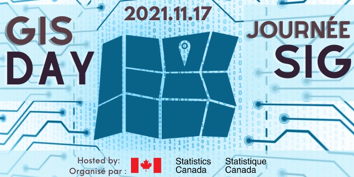
Statistics Canada is hosting their second virtual GIS Day, featuring a virtual booth, panel discussions, and a live stage. Network with speakers from federal agencies, including Canadian Space Mission, Transports Canada and StatCan, and industries partners, such as ESRI and Safe Software! Be sure to check out the virtual poster sessions with projects too!
https://www.accelevents.com/e/gis-day-2021
Simon Fraser University and the University of British Columbia Libraries
SFU and UBC join together and have organized an online GIS Day, via Zoom. This event not only presents different projects and case studies from the two universities, but also has a panel discussion focusing on GIS and Health. While GIS has been put into the spotlight during the pandemic, faculties will dig deeper and discuss this sudden rise in appreciation about the importance of geography and the value of a map for powerful communication.
https://libcal.library.ubc.ca/event/3643291
Western University
Why celebrate GIS Day while you can celebrate GIS Week! Western University is taking festivities to another level, featuring virtual events the whole week. Dozens of lightning talks and demos are on the show every day from 9:30am to 4:30pm (EST). A wide range of presentations throughout the week ensures everyone regardless of your GIS level can join. Did I also mention a geography-themed trivia on the 17th? Join a team and win some prizes!
https://www.lib.uwo.ca/madgic/gisday.html
Esri Canada
How can we leave out Esri when we gather together for GIS Day? Join Esri Canada and see users in government, industry, and academia from across Canada present real-world GIS applications that are making a difference in our society. Get inspired by Canadian users who are applying GIS in new, non-traditional ways!
https://www.esri.ca/en-ca/news-events/events/seminars/overview/gis-day/overview
Université Laval
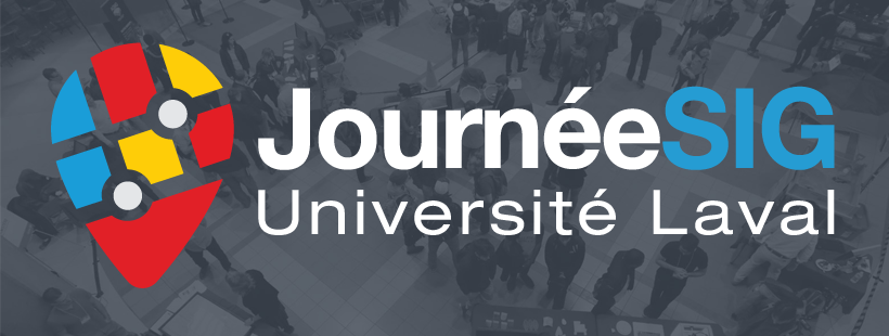
University of Laval offers a variety of activities demonstration GIS and geospatial applications, including daily “Tech Capsules” during the week which showcases exciting GIS projects and, a featured conference by Jean-Francois Barsoum on Friday, Nov 19th. Don’t forget to check out the cartographic competition with submissions from the University and Cégep Limoilou students, you can vote for your favourite submission as well!


Be the first to comment