

Eric Loubier, Director General of the Canada Centre for Mapping and Earth Observation (CCMEO) at Natural Resources Canada, is set to retire after more than 25 years in federal service, including over five years leading […]

Ottawa will host a significant gathering of the global geospatial standards community this spring as the ISO/TC 211 62nd Plenary Meeting takes place in Canada’s capital. This international meeting brings together experts from around the […]
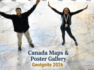
Canada Maps and Poster Gallery Returns to GeoIgnite 2026 The Canada Maps and Poster Gallery returns to GeoIgnite 2026, taking place May 11 to 13 at the Ottawa Conference and Event Centre, showcasing the breadth […]
Be the first to comment