
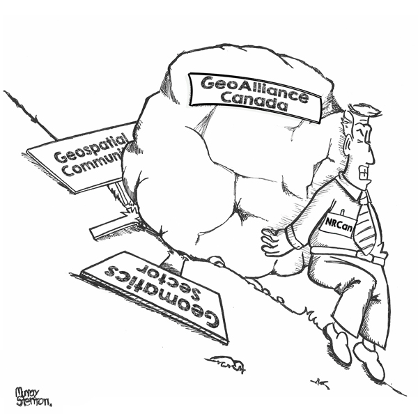

Canada’s Geospatial Strategy and the Challenge of Coordination We unpacked Canada’s new national geospatial strategy and spoke with Sumit Gera about what it will take to make it real. In 1972, Canada’s federal, provincial, and […]

Canada’s geospatial environment is one of the most complex in the world, spanning provinces, territories, Indigenous lands, critical infrastructure systems, Arctic regions, inland waters, and multiple levels of government. Making geospatial data work seamlessly across […]
In the first and the second articles of this series, we explored what CSRS modernization is and why reference systems eventually need to change. The rationale for modernization was that measurement technology improves, systems age, […]
Be the first to comment