GeoIgnite is Canada’s national geospatial conference hosted by GoGeomatics Canada.
GeoIgnite was held online via Zoom from July 22nd to 24th, 2020. This free event showcased the Canadian geospatial community and the leaders of Canada’s location technology sector. The conference brought together professionals from government and industry for innovative programming and updates on our sector. Every year, GeoIgnite is a unique opportunity for the geospatial community in Canada and abroad to learn, share, and engage with one another.
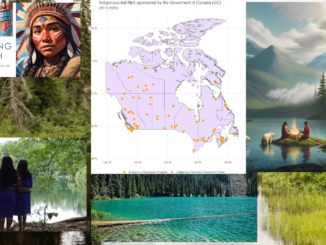
Session: David Acco – Co-Founder – Acosys consulting – Talk: Geospatial data and analytics advance issues critical to indigenous communities in Canada.
If you missed out on David Acco’s session during GeoIgnite in July, here is another opportunity to watch. David is the co-founder of Acosys Consulting, which is 100% Canadian, indigenous owned and operated; he spoke about the indigenous community and how it has become important to bridge the gap between geospatial technologies and indigenous knowledge.
Acosys consulting aims to deliver skills, solutions, and build indigenous capacity while leveraging information technology and indigenous capacity. Some of their activities include:
- Building indigenous capacity through a 52-week internship program to create business analysts, project managers, project control officers, human resources specialists, and geospatial specialists.
- Geospatial projects in indigenous communities to ensure sustainability and conservation of indigenous resources.
Most notable are the outcomes and impact of their activities. Some of these are:
- Stakeholder collaboration.
- Long-term conservation and protection plans for local fish species, available data for future spatial modeling to support indigenous conservation.
- An on-going conversation about navigating the data sharing limitation on indigenous data by OCAP principles.
Anyone interested in how geospatial technologies can be used to advance the conservation of indigenous communities would enjoy this presentation. You can also connect with David through his linkedin account.


Be the first to comment