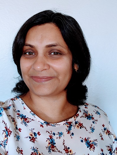
Alefiya Dungrawala
Alefiya is a Computer Engineer by education. She started out as a software programmer at the beginning of her career, and the field of geographical information systems has her gravitating toward it. Combining a computer science background with map production and integrating earth imagery excites her. I have acquired spatial analysis skills while doing the GIS program. In her free time, she loves cooking and reading.
Articles by Alefiya Dungrawala
Future technological trends: A Canadian Perspective from LiDAR CANEX 2024
At LiDAR CANEX 2024, a LiDAR panel of experts from different sectors discussed the latest and upcoming trends and services…
GeoIgnite 2024: What’s new and exciting this year?
I’m excited for GeoIgnite 2024. After five years of anticipation, the first in-person GeoIgnite is finally taking place in Ottawa.…
NRCan Dives into the Era of GeoAI-generated Spatial Data
What is GeoAI? GeoAI is an abbreviation for Geographic Information Systems and Artificial Intelligence, representing a powerful amalgamation of spatial…
From Flames to Data: How deep learning can help in wildfire suppression?
We are driven by our survival tendency. And that compels us to know or be able to predict the future.…
Who are 2023 GEO SDG Award Winners?
Earth Observations for the Sustainable Development Goals (EO4SDG) launched the GEO SDG (Sustainability Development Goals) award in 2019 with the…
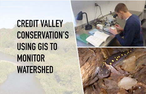
Credit Valley Conservation Using GIS to Monitor Watershed
There is an interesting use case showing how spatial thinking is closely associated with nature and its conservation. Waldo Tobler’s…
How well-versed are you with Galileo HAS?
When I heard about “Galileo HAS”, the first thing that came to mind was the great scientist, physicist, and astronomer…
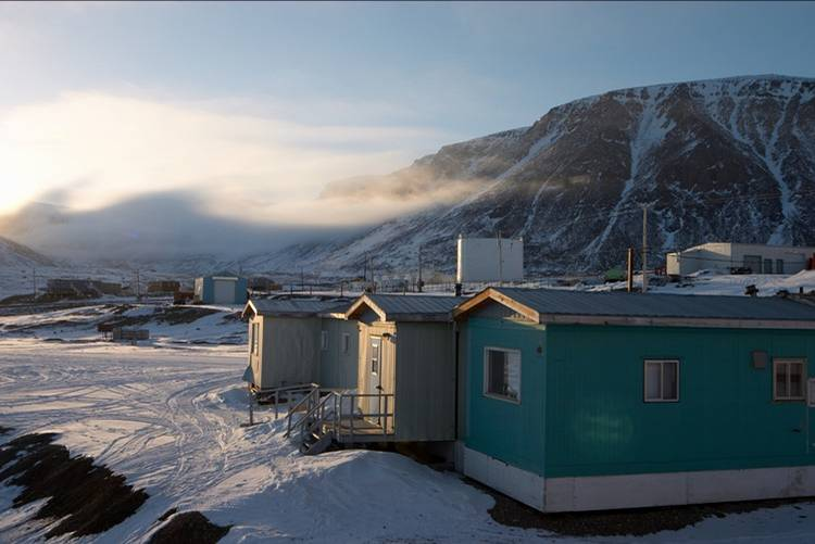
How remote are remote communities?
This is a fascinating question. However, none of us have ever empirically addressed this query. What is it that decides…
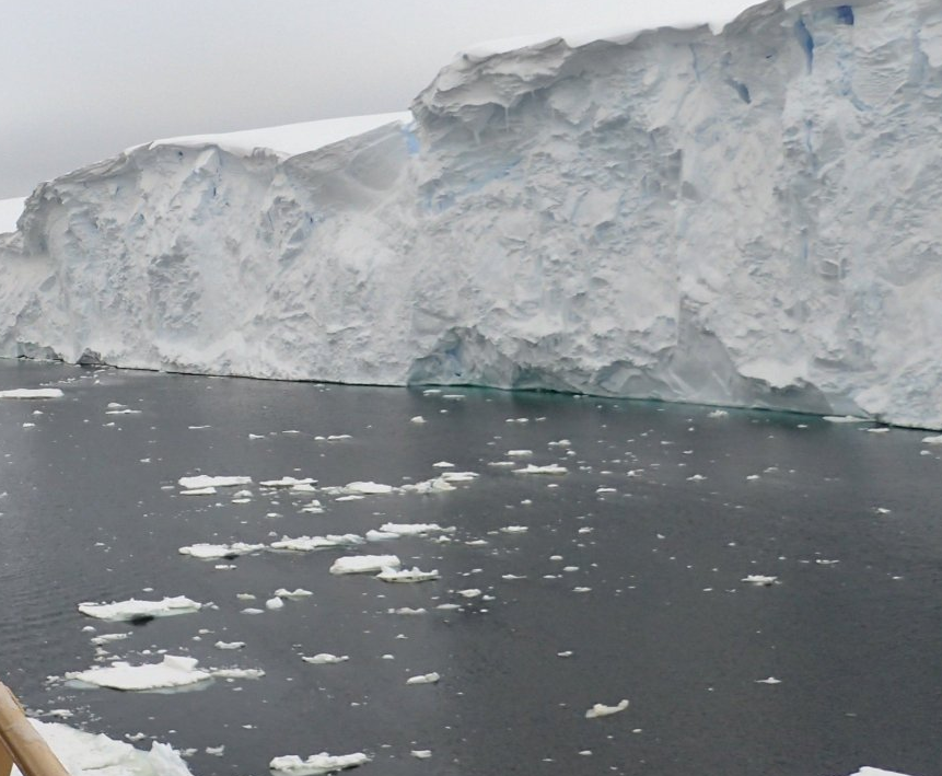
Polar Region Seafloor Mapping
Why Seafloor mapping? A picture is worth a thousand words. Similarly, mapped information is the visual representation of raw data.…
How Digital Twin can remodel future Cancer Care?
Introduction In the array of ever-growing technologies, ‘Digital Twins’ have accelerated in the last few years. The idea of the…
Do you know BC wildfires and floods are linked to each other?
British Columbia wildfires 2021 was the third-worst in its history. The towns which were on evacuation alert during summer wildfires…
Past, Present and Future of Marine Navigation
I have often wondered how marine navigation works on a roadless map of open seas and oceans. Let’s dive into…


