-
Esri Signs Space Act Agreement with NASA
-
Earthquakes in Turkey and Syria
-
Stitching together health data and GIS for better decision-making
-
Auckland Flooding: How hard was your suburb hit
-
Lidar innovation improves robotic vehicle safety for Mars landing
-
“Growing Chains”: Prison Agriculture and Capitalism
-
New consortium to leverage satellite imagery to illuminate emerging global issues
Esri Signs Space Act Agreement with NASA
Esri has signed a Space Act Agreement with the National Aeronautics and Space Administration (NASA) to make geospatial data accessible for researchers and scientists to make data-driven decisions on challenges from natural disasters to climate challenges.
The geospatial content in this agreement includes about 100 spaceborne sensors’ datasets, atmospheric health measurements, land-based phenomena datasets, and characteristics of the oceans.
The data will be available on the NASA data in ArcGIS Living Atlas for more than 10 million users of ArcGIS software and Open Geospatial Consortium, Inc. (OGC)-based formats. Read more here.
Earthquakes in Turkey and Syria
On Monday, Feb 6th, 2023 a series of earthquakes with 7 magnitudes or higher occurred in Turkey and Syria. This earthquake was the strongest hit in the last century in Turkey since 1939. This seismic event was recorded across Turkey, Syria, Lebanon, Iraq, and Jordan. Several aftershocks followed after the initial earthquake. More than 2 people were killed and thousands were injured in this disaster. Earthquakes are frequent in this area since it is located on the Anatolian fault line in the country’s north. A similar magnitude of the earthquake in 1999 caused a lot of destruction in this area. Read more here.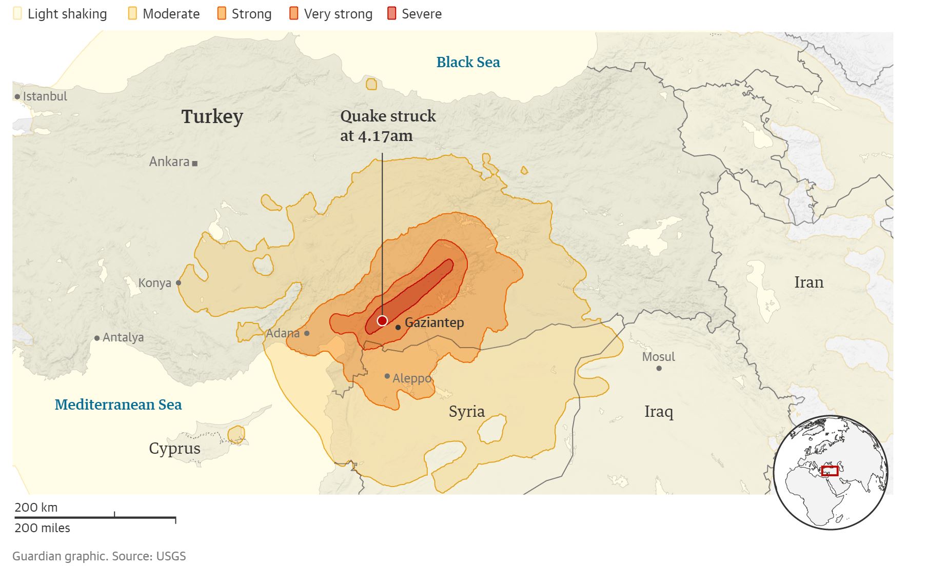
Stitching together health data and GIS for better decision-making
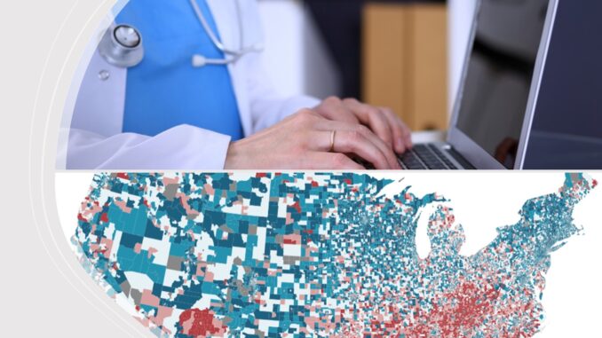
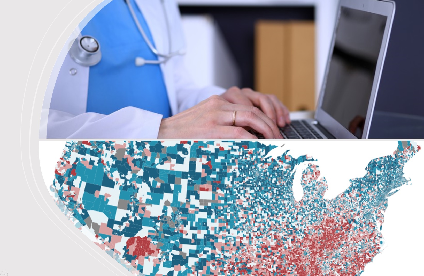
Washington department of health is launching a GIS platform called GeoHUB for users within states. The platform aims to consolidate geographical information systems into operations within government officials to boost data-driven decisions. The platform will be based on the same data layer and the agency’s cloud data center, leading to more consistent results and quicker responses to emergencies. The portal will help identify outbreaks and trends in the community’s health through its story maps and dashboards which will be a visual way for the users. The platform hosts data for internal users and servers for public access. Read more here.
Auckland Flooding: How hard was your suburb hit
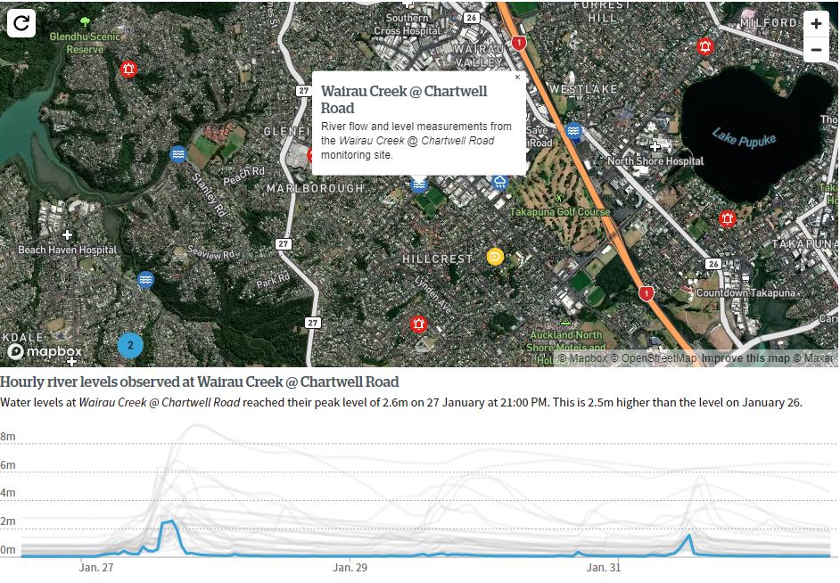
Herald analysis of the Auckland flood in 2023 shows that the area was affected by the biggest torrent. The Herald released an interactive map that uses different datasets from Fire and Emergency NZ (Fenz) to publicly available data to show the extent of the incident, and resulting damages. The map shows rainfall measurements, river flow, flood-related calls, and property inspection data. Different people including elderlies, children, individuals with medical conditions and people who are stuck in flooded residencies called for help. This was the highest level of rain recorded in the area. Read more here.
Lidar innovation improves robotic vehicle safety for Mars landing
A principal investigator from NASA Langley Research Center disclosed the findings of a research in December 2022 at the Optica Laser Congress, held in Tacoma, USA on the critical role that Lidar Technology could have in the future landing on Mars or Moon. With Lidar Technology the 3D terrain maps will be collected from far away to decrease position errors. Then the 3D images will be recorded from shorter distances to avoid landing in hazardous locations. In this study, researchers provided a solution to cover the area of interest with a high resolution view and decreased the range noise. Researchers are now developing a prototype to test the capabilities for future landings. Read more here.
“Growing Chains”: Prison Agriculture and Capitalism
Agriculture is one of the disciplining restraints of work in the United State prison system. Prison Agriculture Lab & Geospatial Centroid at Colorado State University has developed an interactive story map using the official reports, data sets, and internet archives to identify agricultural activities in 2019 or 2020. This project includes reports, graphs, photographs, and links to other resources. It also explains the relationships between agricultural work, labour training, and reparative gardening, and the drivers of racial capitalism. Read more here.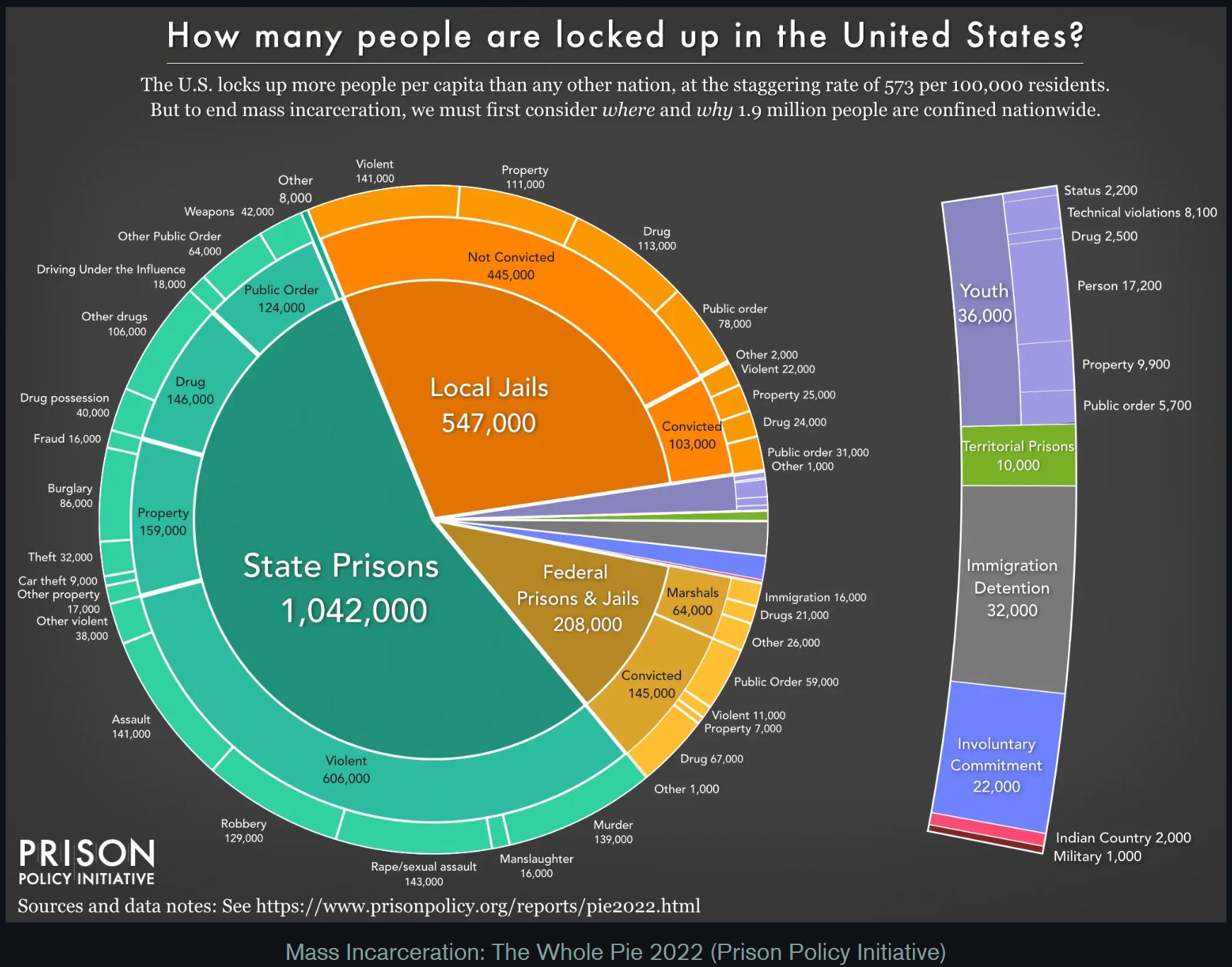
New consortium to leverage satellite imagery to illuminate emerging global issues
Satellite data specialist Planet Labs, the Institute for Health Metrics and Evaluation (IHME), and the AI for Good Lab at Microsoft formed a consortium to work on “emerging threats to health and well-being.”
These 3 organizations have been working together since Covid started. Recently they have decided to focus on how climate change will affect public health and other measures of well-being. Such as how many people have moved and where they are moving, and that data can be obtained from the satellite imagery provided by Planet Labs. The other example is identifying areas where vaccines and other medicines are available.
Planet Labs provides satellite imagery, and the IHME brings expertise in public health issues and can draw on those daily scans and any relevant archives. Microsoft can help process and analyze data quickly with its AI tools. They tend to make the world safer and improve climate change issues. Read more here.



Be the first to comment