
-
9 Key Trends to Watch in 2023
-
Passing of an Australian Geospatial Giant – Dr Peter Woodgate
-
How India Leverages Geospatial Technologies for Urban Management
-
NOAA Might Revise Geospatial Weather Satellite Timeline
-
Scientists use AI to learn extent of seagrass scarring
-
Geospatial Decision Support for Climate Resilience in Pacific
9 Key Trends to Watch in 2023
As the geospatial sector continues to evolve with large steps of innovation, these are 9 major trends that would impact the geospatial community. Ranging from AI, game engines, seamless integration of datasets, utilization of AR/VR technology, calculating carbon and climate imapcts, digital twins, expanding accessibility to 3D capture tools, automating reality capture workflows and Neural radiance fields are key trends to watch. Read More.

Passing of an Australian Geospatial Giant – Dr Peter Woodgate
As a visionary, leader and inaugural President of the Geospatial Council of Australia, Dr Peter Woodgate was instrumental in shaping Australia’s Geospatial scene. His tireless leadership played an essential role in the Australian Space and Geospatial 2030 road map which will be released soon. Read More.

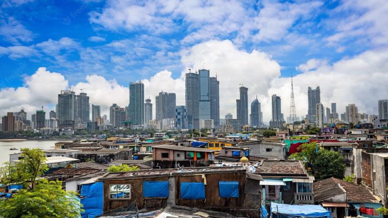
How India Leverages Geospatial Technologies for Urban Management
Recognizing the need for effective management tools in the face of rapid urbanization, India’s government has turned to a variety of geospatial technologies. Ranging from multi-layer GIS platforms, digital twins, drones, remote sensing and surveying, this article examines 5 programs which these geospatial applications are leveraged to provide decision makers the information they need. Read More.
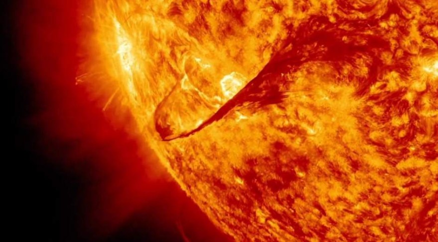
NOAA Might Revise Geospatial Weather Satellite Timeline
As the demand for space weather data grows, NOAA is considering making the final geostationary satellite operational immediately after launch which will enable the Compact Coronagraph to provide imagery and data. This is the Geostationary Operational Environment Satellite-R series (GOES-U). Read More.
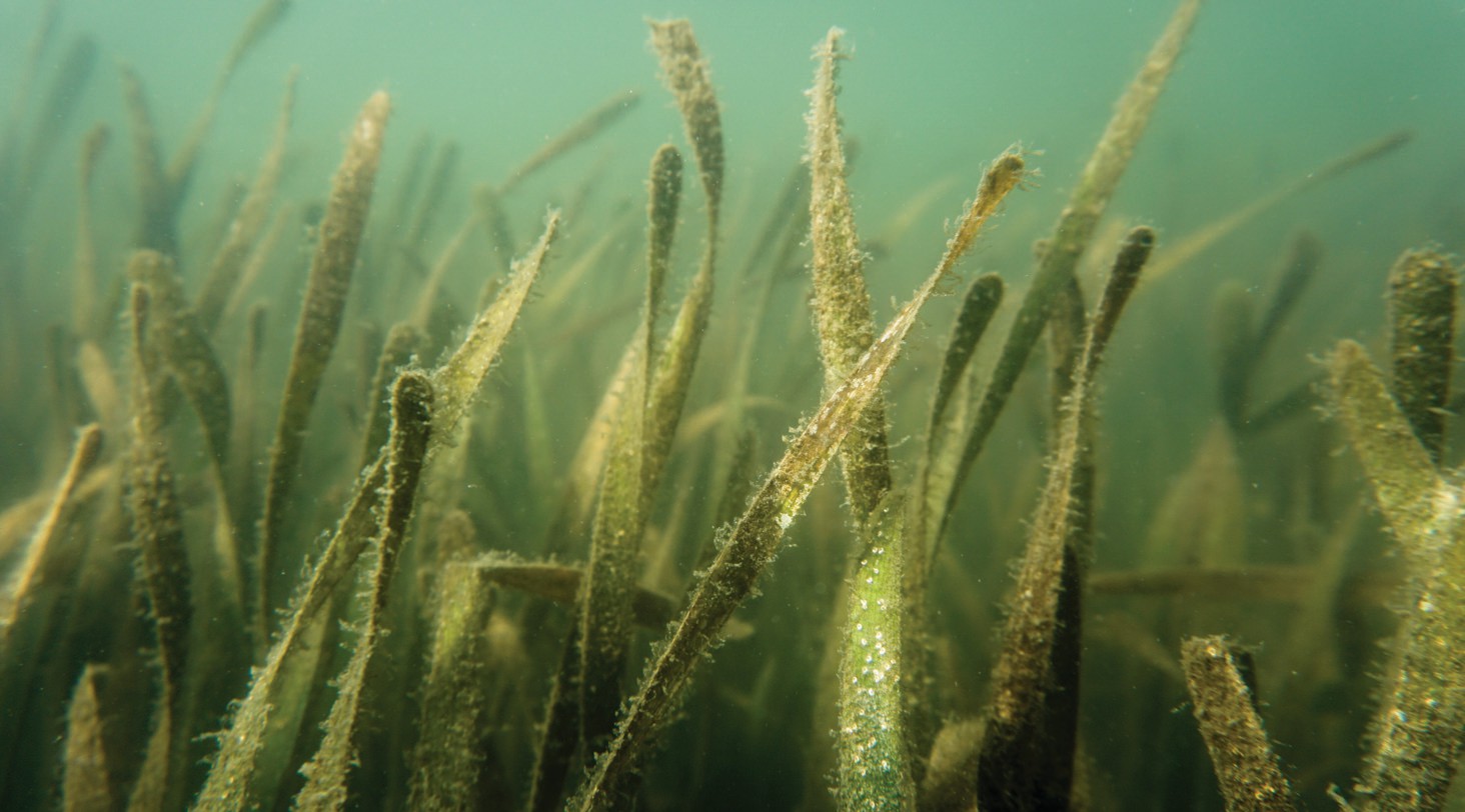
Scientists use AI to learn extent of seagrass scarring
Using imagery and AI processes, scientists from the Tampa Bay Estuary Program, University of Florida and Auburn University are able to identify, quantify and determine the extent of damage to seagrass. Resulting benefits of this program will be the ability to plan activities around the protection of seagrass which will help protect the larger environment and prevent boat propeller damage. Read More.
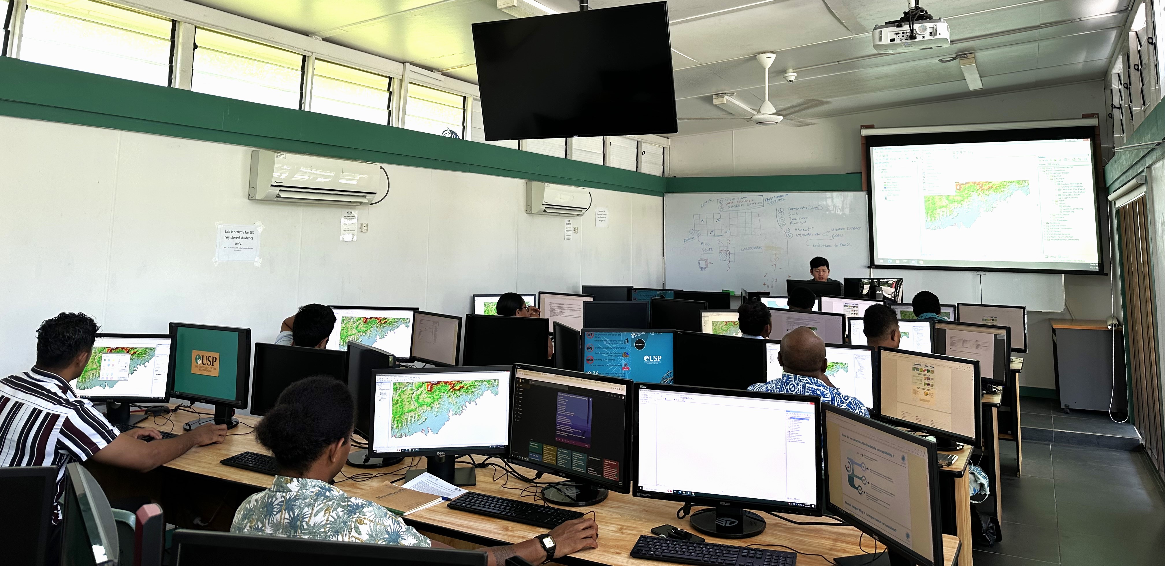
Geospatial Decision Support for Climate Resilience in Pacific
Experts from The United Nations Satellite Centre (UNOSAT) have started a series of tailored training sessions in the Pacific countries of Vanuatu, the Solomon Islands and Fiji. Through these sessions the local geospatial skillsets can be enhanced with the wider goal of being able to collect, store and analyze data which will help with climate related decision-making processes. Read More.


Be the first to comment