
- Earth Observations Power Progress: 2025 GEO SDG Award Winners Announced
- BRICS Nations Share Remote Sensing Data to Strengthen Space Cooperation
- UP42 and Maxar Join Forces to Expand Access to High-Resolution Geospatial Intelligence
- Japan to Provide Ukraine with SAR-Based Geospatial Intelligence
- ESA’s Biomass Satellite Launches to Monitor Global Forests
- Senegal Launches GeoSénégal Portal and GéoInnov 2025 to Boost Geospatial Innovation
Earth Observations Power Progress: 2025 GEO SDG Award Winners Announced
The 2025 GEO SDG Awards recognize exceptional projects using Earth observation (EO) data to advance the UN’s Sustainable Development Goals. Among this year’s winners is Ghana’s “Citizen Science for the SDGs,” which combines drones, AI, and public data to map plastic litter along the coast.
Also honored were China’s Big Earth Data initiative for land monitoring, Zimbabwe’s EO-based crop mapping system, and Indonesia’s modernization of agricultural statistics using satellite imagery. The European Space Agency’s GDA program was celebrated for scaling EO solutions across 75 countries.
These initiatives showcase the global power of EO tools in tackling sustainability challenges.
BRICS Nations Share Remote Sensing Data to Strengthen Space Cooperation

BRICS countries have exchanged Earth observation data covering over 27 million square kilometres, marking a major milestone in peaceful space collaboration. Under the Earth Remote Sensing Satellite Constellation agreement, member states like China, Russia, and India shared satellite data for environmental monitoring and disaster response.
Highlights include China providing data to Russia for environmental tracking, while Russian satellites aided India’s earthquake recovery efforts. A roadmap for a joint data platform running from 2025 to 2029 was also unveiled, with hopes that new BRICS members will join the initiative.
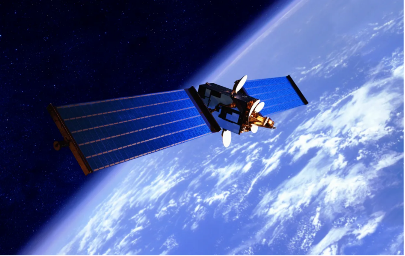
UP42 and Maxar Join Forces to Expand Access to High-Resolution Geospatial Intelligence
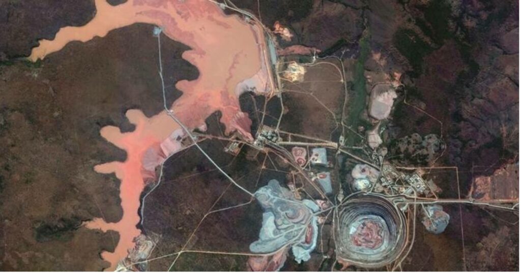
UP42 has partnered with Maxar to bring direct satellite tasking and advanced imagery access to a wider global audience. Through the UP42 platform, customers can now task Maxar’s high-resolution WorldView Legion satellites, capable of revisiting locations up to 15 times per day and soon retrieve 30–50 cm-class archived imagery.
This collaboration enables near real-time geospatial insights for industries like energy, mining, infrastructure, and environmental monitoring. Combined with AI and machine learning tools, the data offers powerful pattern analysis and decision-making capabilities across sectors.
Japan to Provide Ukraine with SAR-Based Geospatial Intelligence
Japan’s Kyushu University space institute (iQPS) has agreed to supply Ukraine’s military intelligence agency with synthetic aperture radar (SAR) imagery, according to Intelligence Online. The partnership aims to boost Ukraine’s ability to monitor enemy movement and infrastructure, even in poor weather, using SAR’s powerful imaging capabilities.
Talks accelerated after a temporary pause in U.S. intelligence support, and the two countries are now working on integrating iQPS data systems into Ukraine’s platforms within the next 2–3 months. With future launches planned, Japan’s support adds a critical new layer to Ukraine’s geospatial intelligence network.
ESA’s Biomass Satellite Launches to Monitor Global Forests
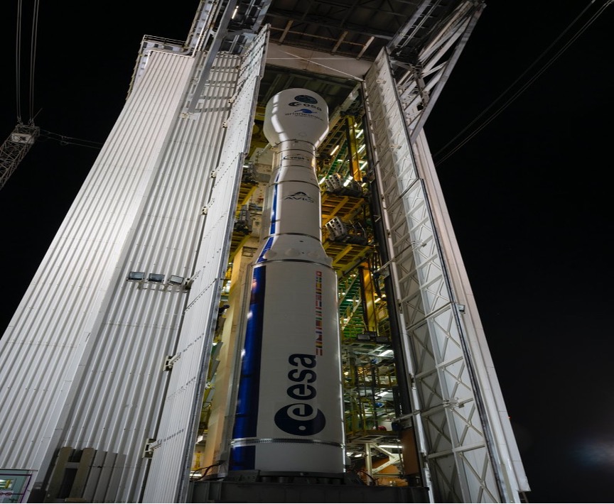
The European Space Agency (ESA) has successfully launched its Biomass satellite, designed to monitor Earth’s forests and carbon stocks, aboard a Vega-C rocket from French Guiana on April 29. This marks the rocket’s fourth overall launch and a major step forward after its 2022 failure.
Biomass will use long-wavelength radar to penetrate forest canopies and map tree height and biomass, helping scientists better understand carbon cycles, deforestation, and climate change impacts. It’s a flagship mission under the EU’s Copernicus program, offering unprecedented global forest monitoring from space.
Senegal Launches GeoSénégal Portal and GéoInnov 2025 to Boost Geospatial Innovation
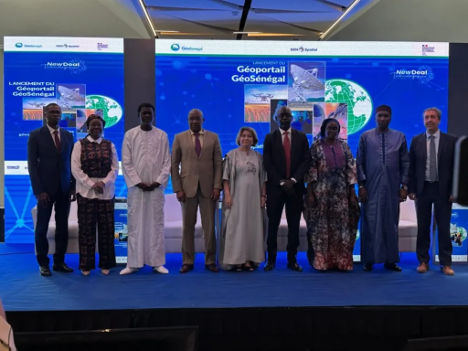
Senegal has launched two major initiatives, Geoportail GéoSénégal and Challenges GéoInnov 2025, as part of its national digital transformation strategy. Spearheaded by the National Agency for Territorial Development (ANAT) and backed by the French Embassy, the new portal offers open, secure access to geospatial data for decision-makers, researchers, startups, and citizens.
Alongside the platform, GéoInnov 2025 invites youth, developers, and innovators to co-create geospatial solutions through open challenges rooted in local needs. Both efforts align with Vision Senegal 2050 and aim to make data a catalyst for inclusive and sustainable development.


Be the first to comment