Earth Observation
Attribution Science: Canada’s Fast-Track Tool for Understanding Extreme Weather
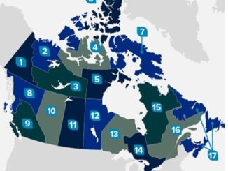
“The rate of temperature warming in Canada exceeds the global average.” Canada’s summer of 2025 not only broke temperature records but also reshaped the landscape of climate extremes in Canada. From the blazing forest fires […]