Community
‘Two Solitudes’ in Geomatics: Luc Vaillancourt’s Call for Cultural Collaboration In Canada
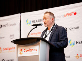
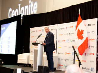
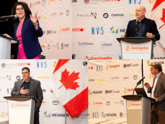
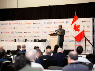
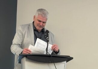
At GeoIgnite 2025 in Ottawa last week, Luc Vaillancourt (senior advisor and founder of BALIZ), delivered a compelling lunchtime discussion on the lingering divide between Quebec and the rest of Canada in the geospatial sector. […]