Earth Observation
Canada and ESA Reaffirm Strategic Space Partnership in Mid-Term Review Milestone
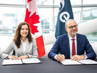
In a significant reaffirmation of one of the world’s most enduring space partnerships, Canadian Space Agency (CSA) President Lisa Campbell and European Space Agency (ESA) Director General Dr. Josef Aschbacher signed a joint statement on […]