BIM & GIS
Desert Creative Group Showcases Tersus GNSS and Next-Gen Workflow Tools
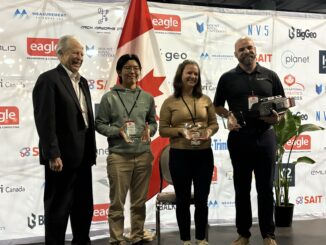
Desert Creative Group joined the GoGeomatics Expo 2025 in Calgary earlier this month to showcase the next generation of GNSS and positioning technologies. In this quick conversation, Jacob Wittenberg, Senior Vice President at Desert Creative […]