BIM & GIS
A Practical Handheld SLAM Scanning Guide
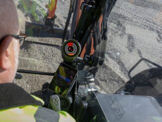
One of the most versatile and powerful sensor systems, becoming standard kit for surveyors and reality capture practitioners, is Handheld SLAM. However, there have been few practical guides published. This one is timely, comprehensive, and […]