Earth Observation
Revolutionizing Earth Observation with Google AlphaEarth AI
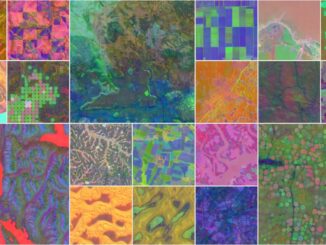
“Today we’re launching a new AI model, AlphaEarth Foundations, to help understand our planet in magnificent detail,” Google announced. In recent years, monitoring Earth’s landscapes has become increasingly crucial for tackling global issues like food security, […]