In the Canadian geomatics sector this week, we look at the Geospatial Readiness Index, big data, new mapping initiatives, and new changes to the way we access earth imagery. We also acknowledge the work of professionals in our industry, and witness the launch of Sentinel-3B.
A New Mapping Mission at McGill

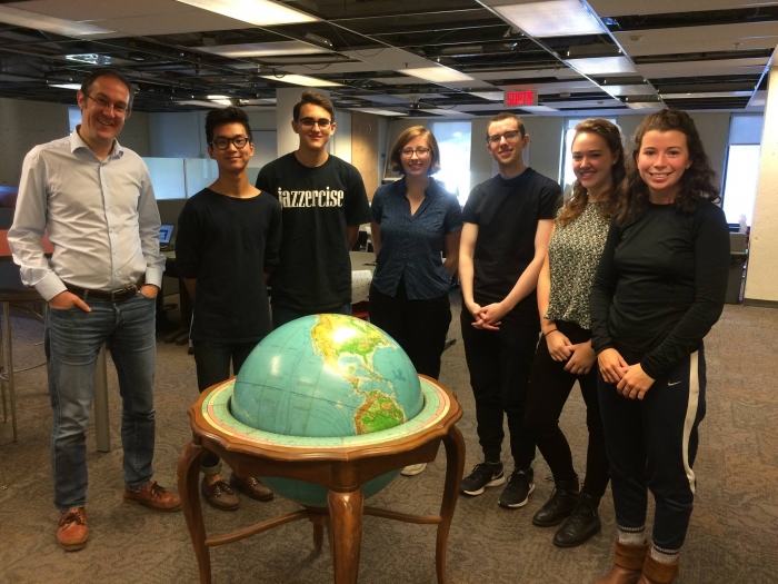
U3 students are bringing the art of mapping to McGill. Hannah Rebentisch, Caroline Thompson, Hannah Ker, Jan Oledan, and Cameron Power have created the McGill chapter of YouthMappers (the first at any Canadian university) hoping to encourage students to participate in mapping projects using the open-source software offered by OpenStreetMap as an alternative to ArcGIS. McGill’s new Open Mapping Group has already held two “mapathons” which contributed to Statistics Canada, and plans to prioritize collection of spatial data that contributes to building stronger communities with the involvement and consultation of community members.
Where Does Canada Rank on Geospatial Readiness?
The Geospatial Readiness Index for 2018 has been released, showing the USA, UK, Germany, Singapore and the Netherlands as the leading geospatial ready countries, with Canada trailing behind at number seven. Showing the geospatial capabilities of 50 countries, the index acts as a blueprint for national growth and development—and also a valuable tool for geomatics professionals interested in seeing which countries lead the industry in infrastructure, entrepreneurship and innovation. The leading countries have policy frameworks that support geospatial surveying, mapping, and data access.
Geospatial Niagara puts the region on the map

Niagara isn’t just the falls, and Darren Platakis, founder of Geospatial Niagara, is hoping to let people know that by getting Niagara region recognized as a UNESCO Global geographic geopark–a designation that recognizes areas of international geographic significance. “Global geoparks are essentially bucket-list destinations,” he says, meaning this designation would benefit local tourism as well as renew interest in the unique geographic features of Niagara, including the historic Welland Canal, Niagara Escarpment, beaches along Lakes Erie and Ontario, and the Wainfleet Bog.
Elaine Dawson Receives Roger F. Tomlinson Award
Visionary civil servant Elaine Dawson has been honoured with The Roger F. Tomlinson Lifetime Achievement Award at the Esri Canada User Conference in Victoria for her trailblazing contributions to enterprise data sharing and spatial data infrastructure development.
“The data access services and policies she crafted on how governments should safely handle data have become the standard-bearer for provincial governments across the country,” says Alex Miller, president of Esri Canada. Dawson led the development of BC’s Spatial Data Infrastructure (SDI) supporting data discovery, distribution, visualization and location services. Her efforts to see geographic data shared between provincial and local governments has ultimately saved B.C. taxpayers money and been instrumental in the success of BC’s Open Data Initiative.
Kamloops transit gets an AVL upgrade
Real-time bus location is coming to Kamloops in Fall 2018. BC Transit has selected seven cities to benefit from the Automatic Vehicle Location technology NextRide, which will give customers real-time information on the whereabouts of their bus, as well as the predicted arrival time on their smartphones. A responsive website will also be introduced to help commuters plan their bus trips. Other communities to try the new system are Nanaimo, Comox Valley, Squamish, Whistler, Kelowna and Victoria.
Ottawa Geospatial Software teams up with Foremost USA Test Range 
Kongsberg Geospatial and the Foremost USA Test Range announced recently that they have integrated the Kongsberg Geospatial IRIS UAS situational awareness application combined with uAvionix ADS-B receivers into the CCUVS Range Operations infrastructure.
The Foremost Test Range is a permanent Restricted Airspace area for flying Unmanned Aircraft Systems, located in Southeast Alberta. “We’re pleased to be working with a client like the Foremost UAS Test Range” says Ranald McGillis, President of Kongsberg Geospatial. “At Kongsberg Geospatial, we’ve developed – technology for sensor integration and airspace awareness for [long-range flight] missions.”
Subscribe at the bottom of the page to the GoGeomatics the newsletter the Canadian Spatial Times to stay up-to-date on the latest news from the sector.


Be the first to comment