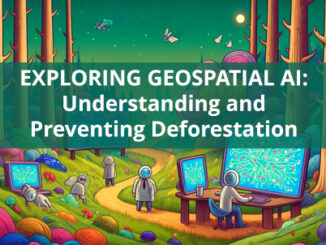
Sentinel
Share your Maps & Data: Soar.Earth jazzes up free access to satellite content every day
Geared towards the general public, Soar.Earth presents an online platform that resembles a digital, free-of-charge atlas. Pooling in from crowd-sourced…
International Geospatial Briefing Jan 26th: Sentinel Hub Script Contest; Google AI powered Tree Canopy Lab; Lidar on the iPhone 12 Pro; 3D Laser Scan using SLAM and UAV; 5,500 public sector organizations’ access to local data
Sentinel Hub Custom Script Contest Sentinel Hub is a platform that everyone can explore earth observation data with a free…
Your Global Geospatial Briefing for November 19th: EU AURORA project; protecting location data; Ordnance Survey tech; smart cities and point clouds
Are you living in a smart city? Smart cities are more than just flashy tech; they are made up of…
Your Global Geospatial Briefing for May 21: $20M in Contracts for Deimos; Apple Drone Concerns; LocationSmart Data Leak; Sentinel 3-B First Images; U.S. Military Investigates Metadata Tampering; Telenav’s Open-Source AI; Interview with ESRI on Smart Cities
Contracts of over $20M for Deimos Imagery For the first time, the General Services Administration (GSA) has awarded a Multiple…
Mapping at McGill, Geospatial Index, Niagara Region, Elaine Dawson, Kamloops Transit, Konsberg Geospatial: Your Canadian Geomatics Briefing for May 2nd
In the Canadian geomatics sector this week, we look at the Geospatial Readiness Index, big data, new mapping initiatives, and…
Google Earth Engine – What is a Data Cube and Why Canadians Should Care
What is a data cube and how is it used for big data analytics? How does a data cube work…
Free Satellite Imagery For You: Sentinel 1 & 2
Sentinel constellations and data products As the ENVISAT program is coming to an end, the European Space Agency has begun…
Remote Sensing QGIS: Semi-Automatic-Classification Plugin (SCP)
Semi-Automatic Classification Plugin Today I’m going to take a quick look at one of the remote sensing plugins for…