
GoGeomatics Canada is pleased to announce that PacGeo will participate as a returning Silver Sponsor of GeoIgnite 2026, Canada’s national geospatial leadership conference. The company operates in the Earth observation and satellite imagery sector, providing organizations with access to commercial satellite data used in environmental monitoring, resource management, infrastructure planning, and geospatial analysis.
PacGeo is a Canadian company specializing in satellite imagery acquisition and advisory services. The firm helps organizations identify and obtain Earth observation data from a range of commercial satellite operators, supporting applications that require timely, high resolution imagery and geospatial insight.
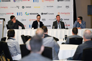
GeoIgnite 2026 will take place May 11 to 13 at the Ottawa Conference and Event Centre in Ottawa, bringing together leaders from government, industry, and academia to examine the evolving role of geospatial information in national policy, infrastructure, and environmental decision making.
Satellite imagery has become a critical component of modern geospatial systems, supporting applications ranging from land management and environmental monitoring to infrastructure planning and disaster response. Organizations working across the Earth observation data ecosystem play an important role in ensuring that governments, researchers, and private sector users can access the imagery and analytics needed to support evidence based decision making.
“Satellite imagery has become an essential component of the modern geospatial ecosystem,” said Jonathan Murphy, Founder and CEO of GoGeomatics Canada. “Organizations like PacGeo help make Earth observation data more accessible to governments, researchers, and industry, strengthening the ability of organizations to use geospatial intelligence in planning and operational decision making.”
GeoIgnite is Canada’s national geospatial leadership conference, convening senior leaders from government, industry, academia, and the broader geospatial community to discuss the policies, technologies, and collaborations shaping the future of geospatial capability in Canada.
GeoIgnite 2026 Sponsors
Gold Sponsor
Silver Sponsors

Bronze Sponsor
Lanyard & Lunch Sponsors
Association Sponsors


Be the first to comment