
When people think of conservation, they often imagine forests, wildlife reserves, or coral reefs. But what about the deep, quiet stretches of ocean that we know almost nothing about? That’s exactly what makes Ascension Island so fascinating — it’s home to one of the world’s largest Marine Protected Areas (MPAs), and until recently, parts of its surrounding seabed had never been mapped.
A recent project led by the British Geological Survey (BGS) has changed that. Using high-resolution bathymetry and drop-camera footage, the BGS team explored and mapped the seafloor around Ascension Island in incredible detail. Some areas had never even been surveyed before. The data they gathered will make a big difference for how the area is studied and protected moving forward.
These new maps show what the seabed is made of sandy patches and rocky zones and reveal all kinds of underwater features, including submerged lava flows, ridges, channels, and even landslides. With this level of detail, it’s easier to understand the kinds of habitats that exist there and how to take care of them.
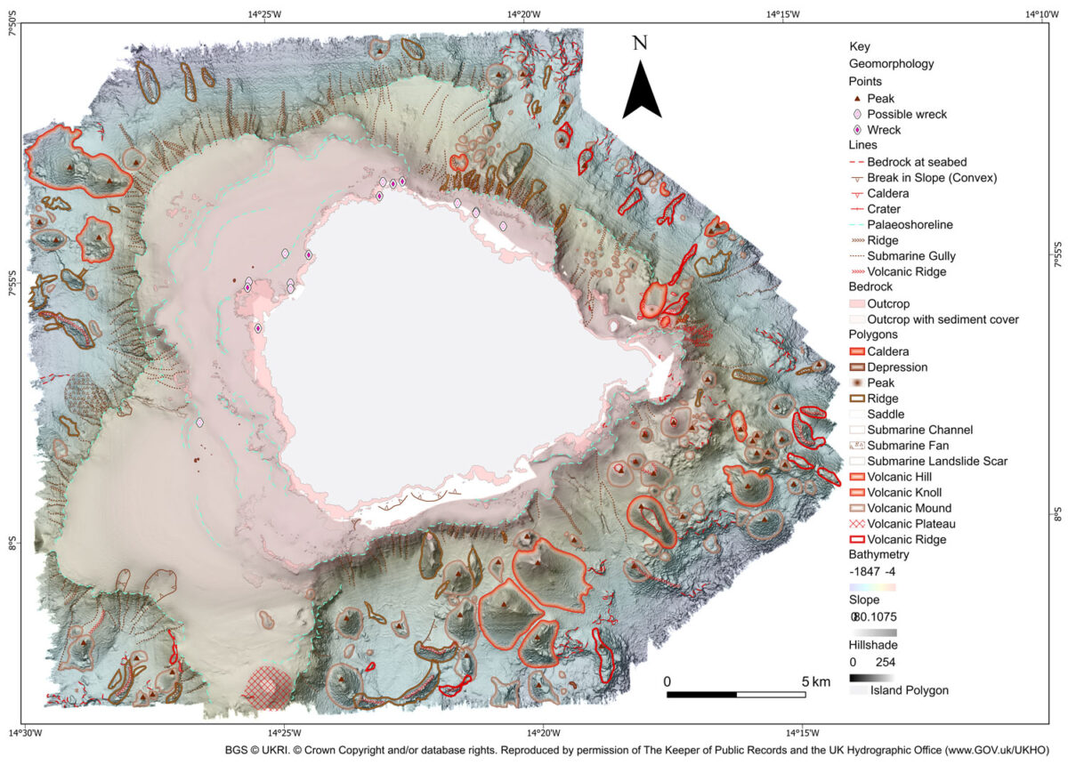
For the conservation team working on the island, this means they can now focus their efforts where it really counts. They have clearer information to guide decisions and monitor the marine life that makes the area so special from nesting turtles to deep-sea species found nowhere else.
What Stands Out
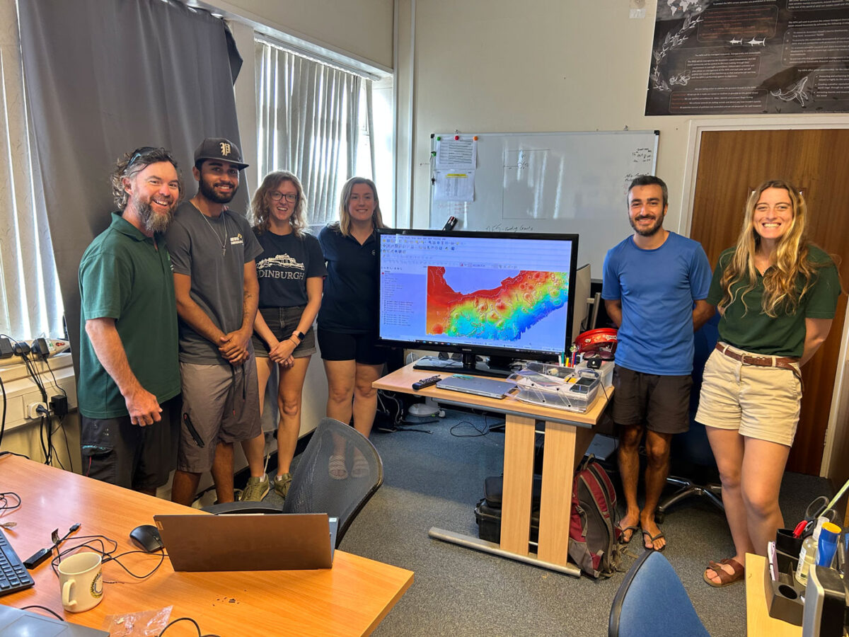
The project didn’t end with just creating the maps. The BGS team also trained the Ascension Island Government’s Conservation Team in how to use GIS tools like QGIS. Now the local team can explore the data on their own, make updates, and continue building on the work as new knowledge comes in.
Catriona MacDonald, one of the BGS scientists on the project, summed it up beautifully: “The collection of new high-resolution datasets around Ascension Island allowed us to map the seafloor geology in unprecedented detail… it marks a significant milestone in our understanding of Ascension Island’s marine environment.”
Places like Ascension Island might feel far away or out of reach, but projects like this show how important it is to keep learning about and caring for these remote ecosystems. With the right data and the right tools, it becomes easier to protect what’s been there all along we just needed a better look.


Be the first to comment