Education & Careers
Canadian Surveyors “Remark” on History with Elk Pass Boundary Restoration Survey
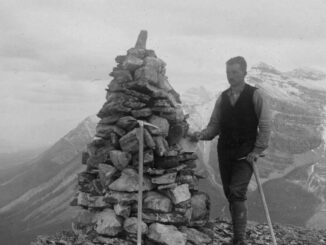
The Alberta-British Columbia Boundary Commission has just completed a monument restoration survey to restore a number of deteriorated provincial boundary monuments in the Elk Pass area of the Rocky Mountains. The work was undertaken by […]