3D maps

International Digest Jun 24 2024

International Geospatial Digest for June 24th, 2024

Mapping Heatwaves from Space: How Extreme Temperatures Are Modeled Access 3D Maps in Maps JavaScript API starting today Environmental Twins…

Building-height Estimation using Street-view Images, Deep Learning, and Building Footprints

Introduction Building height is an important piece of information that has various important applications such as economic analysis, urban planning,…

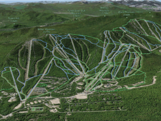
A Canadian Ski Bum’s GIS Resource Guide

What is the first thing you do when you get to a ski resort? Usually, it would be to grab…

UNB & Google Maps: New EarthView3D Technology

University of New Brunswick researcher, Yun Zhang, is no stranger to Google Maps. In 2000, he participated in a Street…

BC Assessment Wins Award for Transforming Property Assessment Using GIS

Geospatial solutions improve accuracy and access to property information VICTORIA, Esri Canada User Conference – April 15, 2015 – BC…