Technology
The NAIS Studies Weather Extremes to Understand Impact on Food Supply
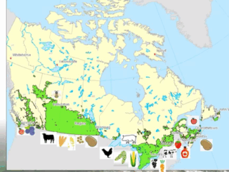
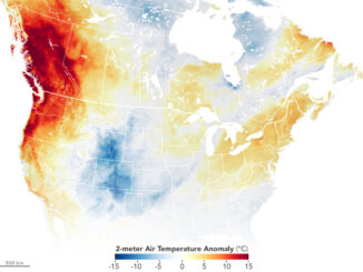
Monitoring Extreme Weather for the Sake of Canada’s Crops The GeoIgnite 2022, Winter Geo, Canada’s National Geospatial Conference, saw Catherine Champagne, an Environmental Scientist with the National Agroclimate Information Service (NAIS) at Agriculture and Agri-Food […]

