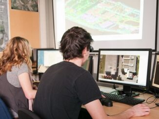
2005-2015: Ten Years with Google Maps
In February 2005, Google Maps was launched as a desktop web mapping service. A few months later, in June 2005, Google Earth was released for personal computers. Since then, people around the globe have been […]

In February 2005, Google Maps was launched as a desktop web mapping service. A few months later, in June 2005, Google Earth was released for personal computers. Since then, people around the globe have been […]

The BCIT GIS department has been graduating students for 25+ years. Our students come from BC, but as well, across Canada and international. Our program is known to be very demanding, and creates students that […]

The full title of Ted Chamberlin’s 2003 book is ‘If this is your land, where are your stories ? Finding Common Ground ‘. This title comes from a Gitksan story told to Chamberlin by Peter […]

IGO (for Open GIS Infrastructure) is a Free Open Source Software for Geospatial (FOSS4G) developed by organisations in the government of Quebec in Canada. The objective is to make it open, common, modular, based on […]

The global commercial drone market size is expected to reach USD 2.07 billion by 2022, according to a new report by Grand View Research, Inc. Increased utility in law enforcement and agricultural applications is expected […]

It is with great pleasure that I want to introduce a new Web Mapping and Geospatial textbook to the Canadian geomatics community. Prof. Emmanuel Stefanakis (University of New Brunswick, Canada) has authored an introductory textbook on […]

While IoT continues to grow in hype and in real importance, all of this excitement will start to wane if we do not see a significant degree of standardization of device types, measured quantities, and […]

Last year, we brought you our recommendations for 10 geomatics LinkedIn groups you should be following. This year, there were so many influential groups to choose from, that we updated and expanded that list to […]