BIM & GIS
Supporting Indigenous Datasets – A Conversation with Esri Canada
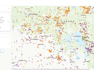
The names that we give our communities and the landscapes that surround us are important to our sense of self, often representing a collective history and anchoring us within the wider world. When European colonists […]