Autonomous driving
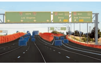
Geospatial Technology Guiding the Development of Autonomous Vehicles
Driver-less cars, also known as autonomous vehicles or self-driving cars, are vehicles that are equipped with sensors, cameras, and other…
LiDAR News Weighs in on HD Map Standards and the Creation of Opportunities
LiDAR 2022 held a live stream presentation on April 5, 2022, with LiDAR News CEO, Gene Roe. Roe spoke on…
International Geospatial Briefing Dec 20: 1. Announcement: SUMSF & Lidar Comex; 2. New Wildfire Dataset; 3. Using Lidar for Autonomous Vehicles; 4. Geography of Religion; 5. The Climate Atlas; 6. Trunk Road Gritter Tracker
Announcing two conferences presented by GoGeomatics that will take place this spring The first event we are announcing is the…
Project Anywhere – Cesium collaboration with Unreal Engine, Microsoft and NVIDIA
Cesium started off in 2011, with a team of developers at an aerospace software company to create an application to…
Your International Geospatial Briefing for November 18th: Satellite InSAR Data used to detect massive size of North Korean Nuclear Testing; How GIS Makes IoT Data Come Alive; LiDAR: Promise and Challenge in Autonomous Vehicles; Bill Gates uses mapping tech to curb polio
Satellite InSAR Data used to detect massive size of North Korean Nuclear Testing Following the withdrawal of North Korea from…