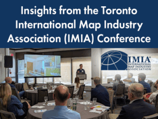
Avenza Maps

Responding to Wildfires and Emergencies: Increasing Situational Awareness with Avenza Maps and Geospatial Data

In Canada, an estimated 3,600 wildfires burned approximately 581,004 acres in 2020 alone.1 Similarly, in the United States, an estimated…

The Next Step in Your Mapping Workflow: Data-driven Map Design with MAPublisher and Geographic Imager for Adobe Creative Cloud

Whether you’re using a traditional GIS (geographic information systems) software that is commercially available or developed by the open source…

GeoIgnite 2020 Video: Cartographic Journeys with the Avenza Platform ~ Nick Burchell – Director- Avenza

Nick Burchell’s GeoIgnite talk ‘Cartographic Journeys with the Avenza Platform’ was one of the best graphically designed, creative, engaging, and well organised presentations at GeoIgnite 2020.