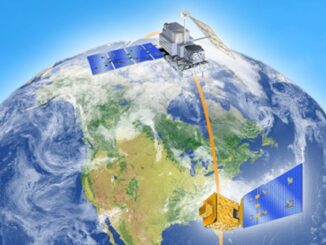
Earth Observation
Canadian Space Agency Awards $5.4 Million for HAWC Mission
Ottawa, ON, October 23, 2025 – The Canadian Space Agency (CSA) has awarded a $5.4 million contract to the Thin Ice Clouds and Far InfraRed Emissions (TICFIRE) instrument as part of Canada’s contribution to NASA’s […]