Conservation
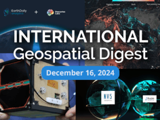
It’s a Wrap! International Geospatial Digest for Dec 16, 2024
As 2024 comes to a close, let’s take a moment to reflect on some of the most significant stories that…
GIS Heroes in The Geography of Hope: David Yarnold on Transformative Stories Behind Technology
David Yarnold has authored many impactful stories, including the Pulitzer Prize-winning report on the 1989 Loma Prieta earthquake. As the…
Mapping Human Footprint: Uncovering the Hidden Impact on Ecosystems in Canada
As human activities increasingly transform ecosystems, the pressure on biodiversity across Canada is growing. The diverse geography of the second-largest…
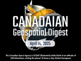
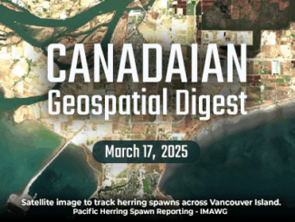
Canadian Geospatial Digest for June 17th, 2024
Students ‘walk’ across Canada with Parks Canada giant floor map Canadian Geographic collaborated with Parks Canada to produce a new…
Canadian Geospatial Digest January 15, 2024
Remote First Nation Community Getting High-Quality Digital Twin Exploring and Mapping the Environmental Stressors around Wood Buffalo National Park New…
Canadian Geospatial Digest April 3rd, 2023
Point Pleasant Park Erosion Documented Thanks to Old Map Mapping the Correlation Between a City’s Tree Cover and Urban Inequalities…
Global Sustainability’s Importance Explained by Geospatial World CEO, Sanjay Kumar
The Importance of Geospatial Knowledge to Sustainability “Sustainability is everything.” The March 3, 2022, livestream for the GeoIgnite 2022, Winter…
UNESCO Designates 8 New Global Geoparks
Paris, 13 April 2022 – UNESCO’s Executive Board has approved the designation of 8 new UNESCO Global Geoparks bringing the number…
International Geospatial Briefing Feb. 28th: 1. Indian government starts work on mapping villages. 2. Scottish space sector charts path to a sustainable future. 3. Five ways AI is saving wildlife. 4. Satellite images show military movements by Russia. 5. Underground Railroad secrets revealed with drones, lasers and radar. 6. NASA ‘NACHOS’ Instrument May Help Predict Volcanic Eruptions.
Indian Government starts work on mapping villages The Indian government is using geospatial technology and drones to map six lakh…
Observing the Peace-Athabasca Delta and Wetland Climate Stress from Space
In the far northern reaches of Canada’s Saskatchewan Province, the Athabasca River and Peace River flow into the Peace-Athabasca Delta,…
Canadian Geospatial Briefing May 10th: Developing Tools to Protect Canada’s Biodiversity; Tracking impact of industrial projects on B.C. species at risk; 3D satellite mapping shows that glaciers are melting faster than ever; Geospatial Maturity Index shows that Calgary is a leader in GIS programs; Community engagement to measure impact of climate change on coastal environments in the Estuary and Gulf of St Lawrence; Surprising locations in Canada that have seen the largest increase in house prices
Carleton and Partners Developing Tools to Protect Canada’s Biodiversity Dr. Joseph Bennett, a biology professor at Carleton University and his…
Geomatics Tools In The Protection and Conservation of North American Right Whales
Right Whale Biology + Conservation When speaking about declining populations in species, the words endangered, vulnerable and threatened often come…