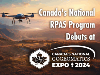
||||||
Technology

International Geospatial Briefing Sept 27th: LiDAR Discoveries in Mexico; New Methods for No-Dig Archaeology in Spain; Observing Earth from the Stratosphere; A Better Rewilding Plan using Spatial Data; WHO Mapping Venomous Snakes; 80 Years of Tropical Storms

Lidar Leads to New Discoveries at Ancient Mexican City There have been many discoveries made over the last few years aided by emerging technologies used in archaeology. We can now add an extraordinary discovery at […]

Glacial Lakes||||
Technology

Your Canadian Geospatial Briefing for September 7th: UofC’s research on glacial lakes; Canadian youth in space sector; Remote Sensing reasons out orange dusting in N.W.T; USask’s AI contribution to agriculture; Calgary woman’s Park story map

Dramatic growth reported in glacial lakes – A study by University of Calgary Dr. Dan Shugar, an associate professor at the University of Calgary and the lead researcher for this study, along with his team […]

High Resolution Mapping Along the Coastal Zone Workshop|Anders Ekelund
Community

Event Recap: COGS & CIG & GANS Cooperate for Mapping Workshop

The Canadian Institute of Geomatics (CIG) Nova Scotia Branch and the Geomatics Association of Nova Scotia (GANS), two regional professional organizations that foster the application of geographic information within the geomatics sector recently collaborated to host a high resolution mapping workshop at the Centre of Geographic Sciences (COGS) in Lawrencetown, Nova Scotia. […]