Culture

A Canadian Geographer’s Notes from Nunavut

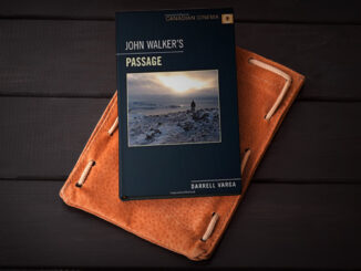
For the last five years, I have annually had the opportunity to spend time in Iqaluit, Canada’s fastest growing community in Canada’s fastest growing territory or province. On arrival, I check out the selection of new books at Arctic Ventures and the screening of new movies about the North. This year, there was the chance to see John Walker’s Passage and to buy a copy of Darrel Varga’s book of the same name in the Canadian Cinema series.

Annapolis Community Mapping April 13 at COGS

1866: a twenty three year old blacksmith from rural Annapolis County who  could neither read nor write. 1888: a five…

My COGS GIS Education, Part II

In my first article, I introduced the how and why I chose to attend COGS from the fall of 2014…

My COGS GIS Education

What About COGS The Centre of Geographic Sciences (COGS) is one of the best colleges in Canada for learning GIS. …

Top Ten Climate Change Maps and GIS Applications

Awareness for climate change has been steadily increasing ever since the Green Revolution in the 1960s. There is a plethora…

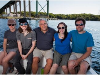
Tim Webster and his Applied Geomatics Research Group (AGRG) team in Halifax, Nova Scotia

Tim Webster: Interview about Past, Present, & Future: Applied Geomatics Research Group

Dr. Tim Webster, is a renowned research scientist with the Applied Geomatics Research Group (AGRG) in Middleton, Nova Scotia. He is…

High Resolution Mapping Along the Coastal Zone Workshop

Event Recap: COGS & CIG & GANS Cooperate for Mapping Workshop

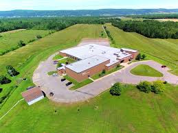
The Canadian Institute of Geomatics (CIG) Nova Scotia Branch and the Geomatics Association of Nova Scotia (GANS), two regional professional organizations that foster the application of geographic information within the geomatics sector recently collaborated to host a high resolution mapping workshop at the Centre of Geographic Sciences (COGS) in Lawrencetown, Nova Scotia.

High Resolution Mapping Along the Coastal Zone - https://geomatics.one

Atlantic Canada: COGS: Geomatics Professionals Coming to Discuss High Resolution Coastal Mapping

High Resolution Coastal Zone Mapping This collaborative effort by GANS & the CIG will engage the geospatial community & increase awareness on the value…

Planifier la Géomatisation d’une Organisation de la Base Vers le Sommet

Vous êtes peut-être un analyste, un professionnel ou un spécialiste au sein d’un département et qui utilise énormément la géomatique.…

The 5 most interesting things that happened in geomatics in 2016

Let’s take a step back and have a look at what happened this year. To be honest, it was pretty…

A List of Geospatial Open Data Resources in Canada

Recently, I read an article about the Canadian Geospatial Data Infrastructure (CGDI) that seeks to explain why the CGDI, among many…

1 2 3 10