BIM & GIS
GoGeomatics and OGC Announce Partnership to Advance Canada’s Geospatial Community
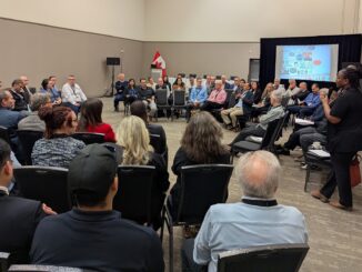
GoGeomatics Canada and the Open Geospatial Consortium (OGC) are pleased to announce a new three-year partnership to strengthen collaboration and knowledge-sharing across Canada’s geospatial sector. Under this agreement, OGC will sponsor and co-develop the OGC […]