|||||||
Technology

International Geospatial Briefing May 31st, 2021: Using drone technology to assist with pest management; NOAA’s new approach to earth-observation; Using remote sensing data to observe changes in plant populations; Concept3D’s New 360° Map; Mapping Gaza; Five images that show our changing planet

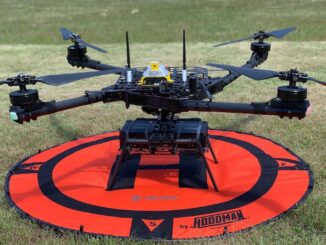
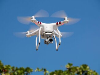
Drone technology uses thermal imaging to identify feral pests on farmland Two airplane pilots and one aircraft engineer are using drone technology to identify the presence of any pests on farmland in the Australian state […]

|||
Technology

Canadian Geospatial Briefing April 26th: Ontario COVID-19 Vaccine Pharmacy Locator; 5G drones fly over UBC; AI & remote sensing for future Lac à Paul tailings dam; UBC prof uses Sim City-like program to map disease paths; Remote sensing map of Canada’s first highway to the Arctic

UWindsor researcher maps which Windsor neighbourhoods need help accessing vaccines Research by Carina Luo, a geospatial data analyst at the University of Windsor shows there are service gaps in vaccine availability across Ontario. Some areas […]

|||||
Technology

Canadian Geospatial Briefing February 16th – A new app for neighbourhood environmental health; Kongsberg Geospatial horizonless air picture; Evictions Ontario map; people cry at University of Waterloo; Canadians can now get Space X Starlink internet

A new app from U of T researchers allows users to track their neighbourhood’s environmental health Researchers at the University of Toronto have created a new app that provides insights into the environmental health of […]

||||
Technology

International Geospatial Briefing February 9th – What are we doing about space traffic management?; new urban planning GIS tool to improve urban climate resilience; Drone Privacy Laws; World’s Longest and Deepest Alternating Current Cable Route; Ex-Uber team – Unfolded.ai

What are we doing about space traffic management? As spaceX continues to launch more and more satellites through their ridesharing program, most recently the Falcon-9 launched with 143 satellites and as these jam-packed satellite launches […]

|||
Technology

Canadian Geospatial Briefing Feb 1st: Canada’s first Agric Technology degree; U of A maps out uncharted Territory for Owls; Data from space could protect endangered Whale species; Canadian company producing low-noise drones; Mapping Kelp beds along Pacific coast.

Lakeland College Launches Canada’s first degree in Agriculture Technology Lakeland College is starting Canada’s first degree in agriculture technology in 2021 fall. The degree would help students keep ahead of the rapidly evolving agricultural technology […]

||
Community

Canadian Geospatial Briefing for November 23rd: Mapping corridors for drones; RAMMS technology to map Lake Huron; Indigenous mapping workshop; InDro Robotics working with Rogers & UBC; 5th Pan-Canadian SDI Summit

Canadian startup AirMatrix maps air corridors for drones AirMatrix is working on mapping out corridors in the sky to create drone “highways”. Manned and unmanned air traffic are becoming more common and creating a model […]