earthquakes
International Geospatial Digest for June 24th, 2024
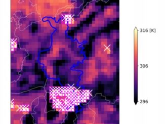
Mapping Heatwaves from Space: How Extreme Temperatures Are Modeled Access 3D Maps in Maps JavaScript API starting today Environmental Twins…
Canadian Geospatial Digest for August 1, 2022
Endangered BC Heritage Site Digitally Preserved by University Professors Edelweiss Village, a heritage site in British Columbia (BC), is the…
Detecting Land Deformation Related to Hydraulic Fracturing
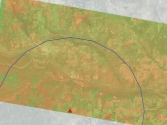
Fracking in North America The link between hydraulic fracturing, or fracking, and earthquakes has been well-established in studies throughout North…
Book Review: Two Trees Make a Forest
Written by: Jessica J. Lee We can’t travel at the moment but this book might just be the next best…
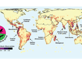
International Geospatial Briefing April 19th: Wyoming Mapping Project Helps Identify Important Habitats; Map of the Mafia Gives Deeper Insights into Former Operations; Animated Map Shows History of Earthquakes and Tsunamis Around the World; OGC API Allows Vector Data Transmission in Any Coordinate Reference System; Interactive Map Could Help Scientists Discover Previously Unknown Species
New Wyoming Mapping Project Helps Identify Important Habitats for Protection A new mapping project by the Wyoming Game and Fish…
International Geospatial Briefing March 22nd: Detect wildfire from space; Geospatial evidence of pirates; Disaster preparedness with geospatial technology; Indoor navigation without GPS; Virtual Easter eggs on Google Maps
Australia’s first satellite that can help detect bushfires within one minute of ignition set for launch An Australian company is…